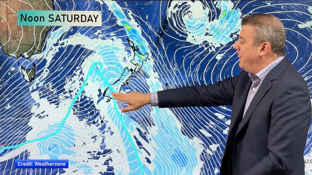
InfoGraphic: The Big Picture for Saturday / Sunday
31/01/2020 2:00am

> From the WeatherWatch archives
A large anticyclone is centred to the northwest of the North Island on Saturday in the Tasman Sea meanwhile a west to northwesterly airflow builds over the country. Strong northwesterlies cover the country on Sunday, a front straddles the far south.
Morning cloud for the western North Island then mostly sunny with some high cloud, mostly sunny with some high cloud in the east. The odd light shower develops about Fiordland by afternoon, turning to rain later in the evening, sunny spells further north. Morning cloud in the east breaks to mostly sunny weather. Dry about Southland and Otago for most of the day, spots of rain later in the evening / overnight.
Some cloud for the western North Island on Sunday, especially morning. Sunny and hot in the east. The West Coast of the South Island is cloudy with rain, heavy the further south you go into Fiordland. Some rain for Southland and Otago, mostly sunny further north along the east coast with hot conditions and some high cloud.
By Weather Analyst Aaron Wilkinson – WeatherWatch.co.nz
Comments
Before you add a new comment, take note this story was published on 31 Jan 2020.


Add new comment