> From the WeatherWatch archives
A large high is set to drop anchor and remain part of our weather maps for the next week ahead, according to WeatherWatch.co.nz.
The eastern placement of this high will encourage northerly quarter winds across New Zealand for the next several days. “We’ll tend to see more of a north to north east flow across the country” says head forecaster Philip Duncan.
Places like Central Otago, Canterbury and Hawke’s Bay are all candidates for daytime highs reaching the mid 20s in the coming week.
The high isn’t perfect, encouraging higher humidity, clouds and showers in the North Island and some remote parts of the South Island over the weekend, however a drier and sunnier trend should kick in next week too.
“This large anticyclone won’t be centered over the top of us, it will be slightly east and that means New Zealand is mostly affected by the warmer, more humid, northerly quarter wind flow” says Mr Duncan.
Long range data we rely on suggests wetter weather may be possible in New Zealand at the end of next week.
Don’t miss our weather video with Philip Duncan, out later this morning, covering the big picture in New Zealand over the next few days in more detail.

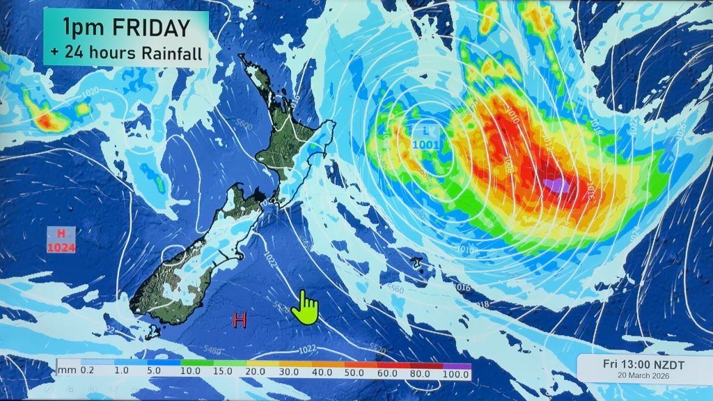
– Image / Sunday PM rain and air pressure map shows a large high to the east of NZ with a northerly quarter wind flow across both islands / Weathermap.
– WeatherWatch.co.nz
Comments
Before you add a new comment, take note this story was published on 27 Oct 2017.


Add new comment