> From the WeatherWatch archives
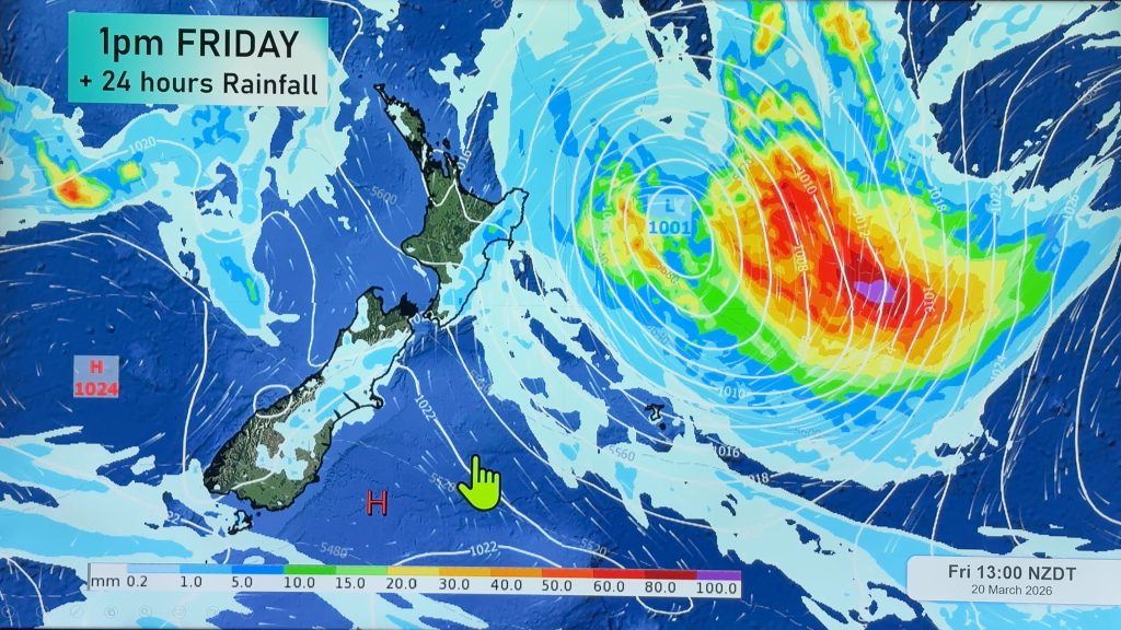
Sea breezes, heat and humidity are expected to combine to produce heavy afternoon showers across the North Island’s north eastern corner today, reports WeatherWatch.co.nz.
While ex-cyclone Atu rapidly breaks apart to the east only light winds remain over the Bay of Plenty / East Cape region.
The crown forecaster is also predicting a chance of thunderstorms, saying there is a chance of thunderstorms across Bay of Plenty and the Gisborne ranges following “widespread” showers expected this afternoon and evening.
“Showers and thunderstorms in this area are likely to be slow moving and could therefore produce localised heavy rain” they say.
Keep an eye on the skies with the free and live Lightning Tracker – CLICK HERE to view

– NZ Govt
Comments
Before you add a new comment, take note this story was published on 23 Feb 2011.


Add new comment
karamu49 on 24/02/2011 2:37am
Been watching this for some time, huge swell crashing across the bar at whakatane heads.
go here: http://surf.co.nz/reports/external/?cam=Whakatane
amazing footage and just look at the logs and debri built up on the grass foreshore.
Reply
Celtickiwi on 24/02/2011 1:39am
YAY! Im hanging out for a good thunderstorm!
Hey, the lightning tracker wont download onto my comp and it freezes. Does anyone else have this trouble or is the programme too big for my laptop?
Reply