Gales, snow and a fast front – #WeatherRisks and our main centre outlook
19/07/2015 7:00pm

> From the WeatherWatch archives
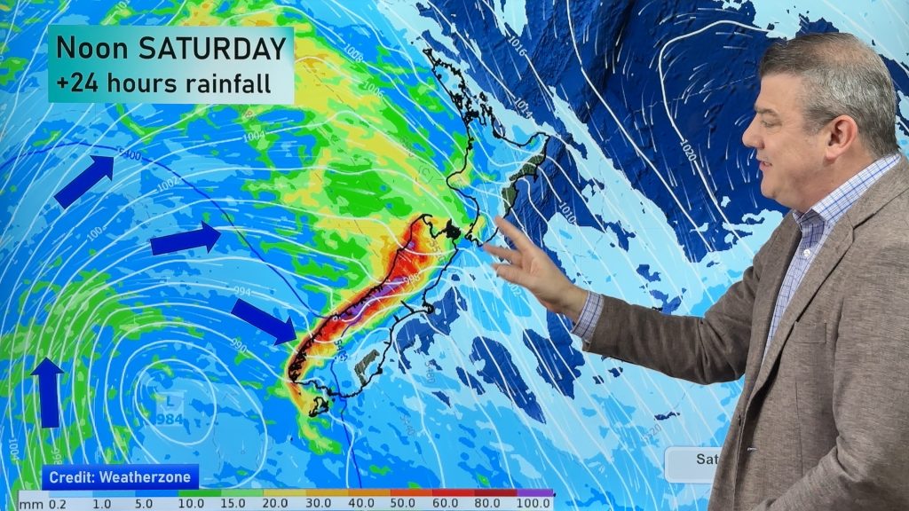
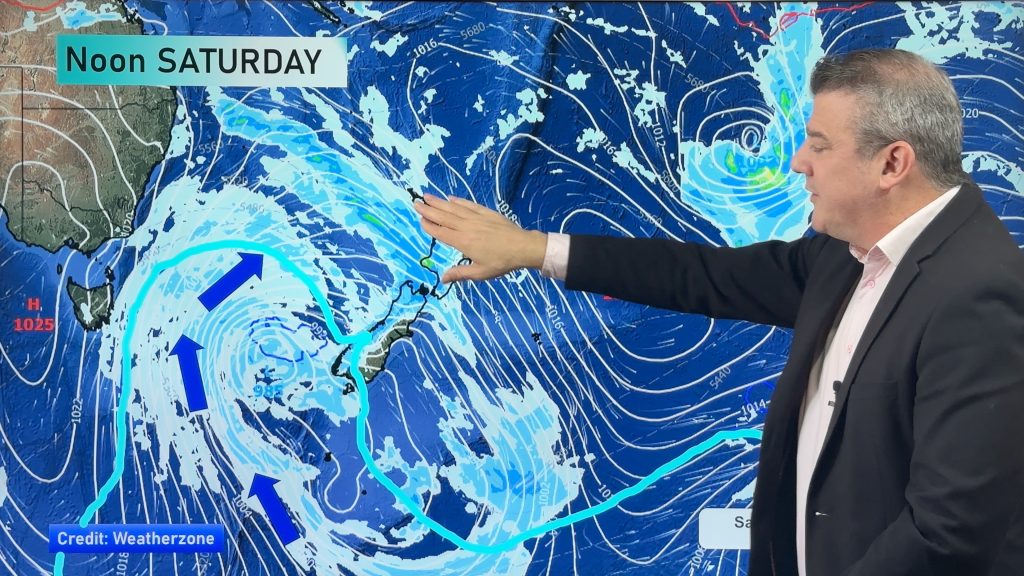
A fast moving front is set to move through the South Island through the day, bringing strong winds and snow flurries to parts of both islands on Monday.
Wind
Strong southwesterly winds will push along the east coast of the South Island, and gales are possible about Banks Peninsula from afternoon.
The aforementioned front moves through the lower South Island this morning then the upper South Island this afternoon.
Snow
Snow should fall for a brief time to about 300m – or possibly even 200m as this front moves through in South Island regions – though things are fairly quick moving, so it’s not looking particularly troublesome.
Overnight, snow flurries then move into the Central Plateau and along the East Coast of the North Island, with flurries to 300m.
Main Centres
Auckland
Looking cloudy to start, with the chance of a shower or two in the afternoon onwards, and southwesterly winds picking up in the afternoon, along with temperatures in the mid teens.
Wellington
Sunny and clear to start, with temperatures in the low double figures, before an afternoon southerly change brings cloud and showers towards evening.
Christchurch
Clear conditions early on before a southwest change brings showers, a risk of hail and snow flurries to 300m – then clearing by evening.
– Aaron Wilkinson & Drew Chappell
– Photo: Amanda Thatcher
Comments
Before you add a new comment, take note this story was published on 19 Jul 2015.


Add new comment