> From the WeatherWatch archives
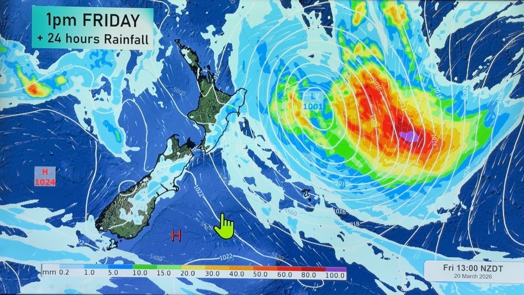
The ridge of high pressure we’ve been talking about for many days remains firmly in control of our weather.
Today, the centre of the high is expected to continue its very slow trek eastward. As it moves out over the Pacific and starts to pull away from New Zealand, the onshore flow that has kept rain chances going for Gisborne and Hawkes Bay will start to diminish. That means that, despite the fact the day may start with clouds and precipitation, things should clear out by mid to late morning.
That means it will be a dry and settled day nationwide. Temperatures will be pretty uniform as well. Look for afternoon highs to be in the upper teens to lower 20’s.
By WeatherWatch Analyst Howard Joseph
Comments
Before you add a new comment, take note this story was published on 19 Apr 2012.


Add new comment