Forget the tropics, the Southern Ocean has two South Island cool downs this week (+4 Maps)
10/02/2019 10:41pm

> From the WeatherWatch archives
The South Island isn’t much affected by the tropical developments this week with at least two cold fronts on the way bringing West Coast rain, east coast showers and two big temperature drops.
Cooler change number one arrives on Thursday with heavy downpours on the West Coast and some spillover in to the east. Temperatures will drop quite a bit from where they will be on Tuesday/Wednesday. For example coastal Southland will see a 10 degree drop on Thursday afternoon with a high of around 16 degrees down from 26 the day before.
This cooler change will spread around coastal areas of the west, south and east in the lower half of the island.
The first cool change will fade out on Friday as it moves in to Canterbury and things warm up a little further south for a short time.
The second cooler change is colder and arrives this Saturday.
As we just said Friday may see a brief warming up in Southland, Otago and the West Coast before the next colder change arrives and Saturday looks cold in some areas with highs of just 13 to 16 degrees forecast.
The top of the island isn’t affected, which isn’t good for the Nelson fire. WeatherWatch.co.nz says while a few light showers are possible overnight tonight or first thing on Tuesday the 10 day forecast is hot, dry and sunny for Nelson and Marlborough with highs inland into the low 30s.
WEDNESDAY:
THURSDAY:
FRIDAY: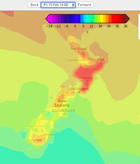
SATURDAY:
– Temperature map courtesy of MetOcean
– WeatherWatch.co.nz
Latest Video

Matariki, the long weekend + the outlook for next week
Wet weather and cloud continues along the eastern side of the country with the heaviest rain now moving into northern…
Related Articles
Matariki, the long weekend + the outlook for next week
Wet weather and cloud continues along the eastern side of the country with the heaviest rain now moving into northern…

More eastern rain, but a drier long weekend coming
Rain continues today along the eastern South Island and lower North Island, coming in from the east with heavy falls….

More heavy rain, snow – but large dry areas, especially as we go into the long weekend
Heavy rain will continue for parts of Canterbury and Marlborough over the next day or two and it will gradually…

