> From the WeatherWatch archives
Low pressure that has been soaking eastern Australia over the last few days is headed our way and looks to do the same to us.
The main rain from this low will start to fall over the western sections of both islands early on Tuesday. Rain chances will spread east by evening so that most areas will see at least a small chance for precipitation. Gisborne, Hawkes Bay and Wairarapa have the lowest chance for seeing precipitation. Westland and Nelson have the best chance. These areas also have a chance for seeing some heavy falls.
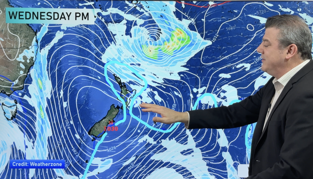
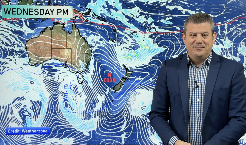
On Wednesday, the threat for heavy falls shifts north and east. Wellington, Wairarapa, Hawkes Bay, Gisborne, Bay of Plenty and Northland could all see heavy falls. The rest of the North Island will likely see rain as well, but the chance for heavy falls is very tiny. The South Island should see a gradual drying and clearing on Wednesday.
Wind will also be a factor. Most areas will see winds picking up on Tuesday with gusty north and north-west winds.
Homepage image/ Tuesday Morning weather map courtesy of Weathermap.co.nz
By WeatherWatch Analyst Howard Joseph
Comments
Before you add a new comment, take note this story was published on 2 Jun 2012.


Add new comment