
> From the WeatherWatch archives
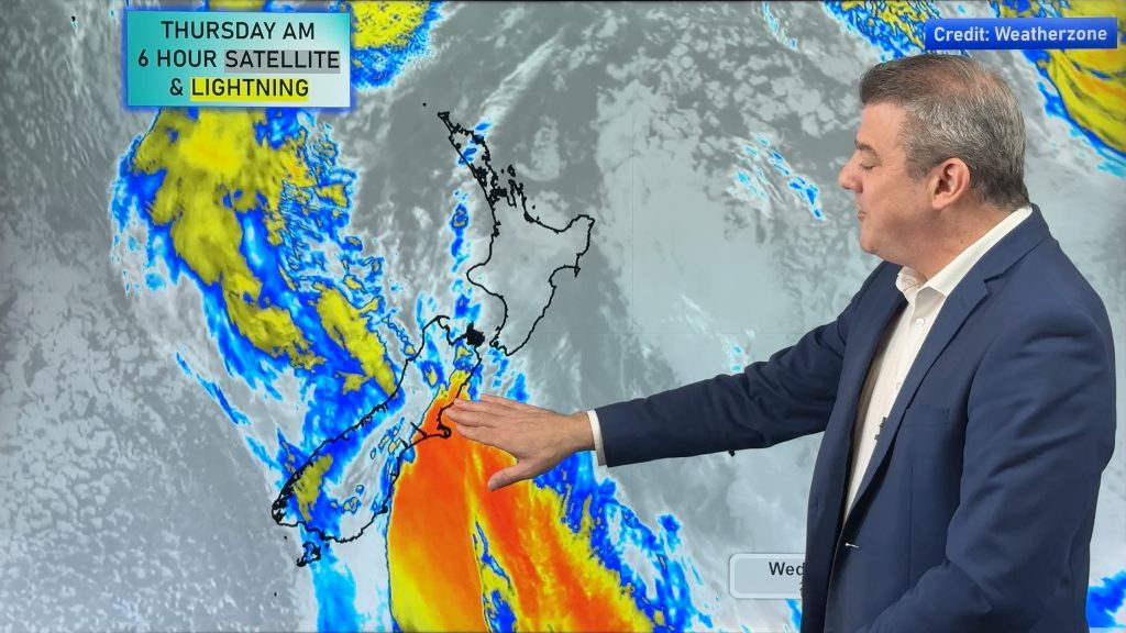
A weakening front is slowly moving towards western and northern parts of the North Island today. The front is so weak it is barely showing up on our satellite map.
However afternoon heating may help create some isolated heavy showers this afternoon.
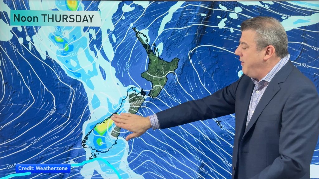
MetService says there is a moderate risk of heavy showers and isolated thunderstorms this afternoon and evening from Taupo to Bay of Plenty, eastern Waikato and southern Coromandel Peninsula and also for Northland down to Auckland.
A low risk extends from inland Taranaki across to inland Hawkes Bay and Gisborne and further northwards.
The thunderstorms are likely to be slow moving with localised rainfall rates of 10-25mm/hr.
Monitor any potential thunderstorms with WeatherWatch.co.nz’s live and free Lightning Tracker.
Latest Video
A few showers, but still a lot of high pressure
Showers continue in parts of NZ going into the weekend and through next week, we track them for you –…
Related Articles
A few showers, but still a lot of high pressure
Showers continue in parts of NZ going into the weekend and through next week, we track them for you –…
High pressure still in charge, but a few changes in the mix
High pressure continues to control much of New Zealand’s weather although there will be some wind and temperature changes in…
Heavy West Coast rain, a few showers elsewhere
High pressure looks to remain mostly in charge of NZ’s weather until the middle of next week when a potential…

