> From the WeatherWatch archives
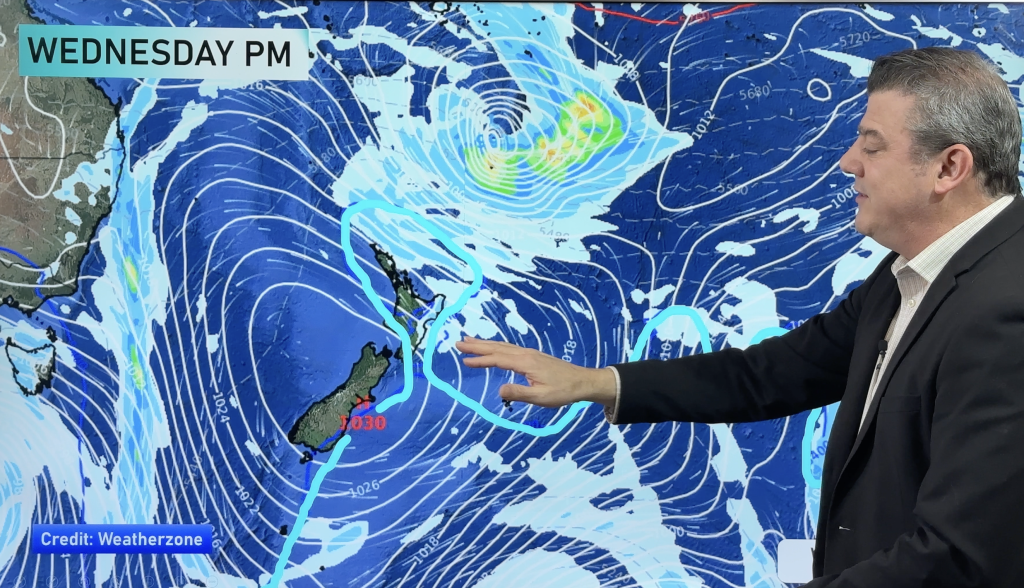
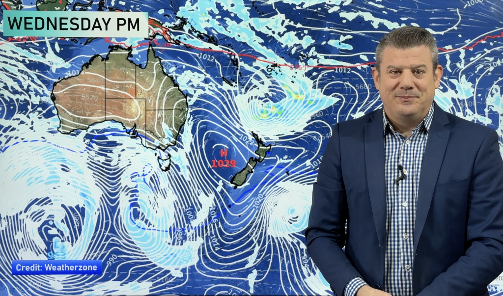
Deepening low pressure to our south and a ridge of high pressure to our north have set the stage for a rather windy day for southern parts of both islands, as well as the Canterbury high country and Marlborough sounds.
WeatherWatch.co.nz forecaster Howard Joseph says the tightening pressure gradient formed between the two systems will kick up some strong winds today in these areas. At this time, widespread severe gale force winds are possible, but chances are fairly small. However, strong to gale force winds are likely.
Government forecaster MetService also believes there is a possibility of the winds gusting to close to severe gale levels. This has prompted them to issue a Severe Weather Watch.
The timing for the stronger winds is as follows;
|
Southland and Otago (exposed areas) |
This afternoon |
|
Canterbury High Country |
This afternoon and this evening |
|
Marlborough Sounds |
This afternoon and this evening |
|
Wellington |
This afternoon and this evening |
|
Wairarapa |
This afternoon and this evening |
WeatherWatch.co.nz and MetService forecasters will continue to monitor the situation and update you as conditions change.
Homepage image- NOAA
WeatherWatch.co.nz with additional information from MetService
Comments
Before you add a new comment, take note this story was published on 13 Dec 2012.


Add new comment