> From the WeatherWatch archives
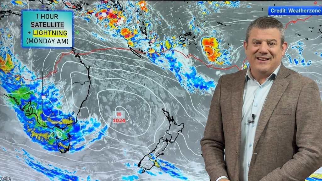
A small area of high pressure will slide across New Zealand over the next 24 to 36 hours.
That means settled weather for the country. Most areas should see plenty of sunshine too, however cloudy periods make continue in the north of the country due to a weak disturbance just north of New Zealand.
Temperatures will likely start off pretty cold, much like they did this morning. Highs will make a run for the teens across most of the North Island and upper regions of the South Island. The lower SI will struggle to break the 10 degree mark.
Monday will be another dry and settled day for the country. But it will be the last one for a while. Starting on Tuesday, many parts of New Zealand will run the risk for precipitation. In fact, rain chances could start showing up as early as overnight Monday into Tuesday.
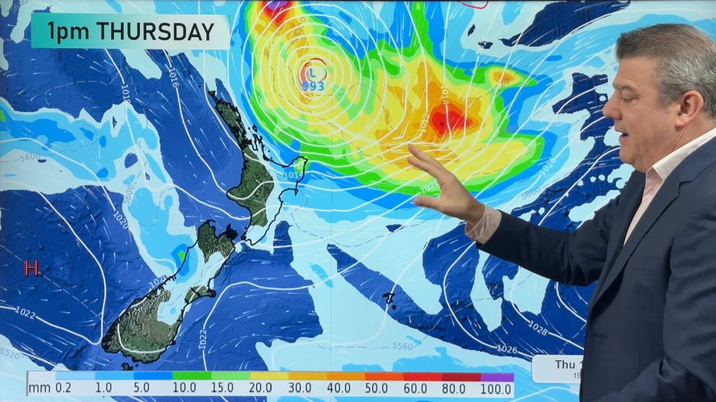
The best chances for seeing rain during the upcoming week will show up about much of the North Island and the upper South Island. Tuesday and Wednesday will have the most widespread rain chances. By Thursday, the rain chances could shift to just the western and northern sections of the NI.
Temperatures will moderate a bit this week. We won’t be seeing summer-like temperatures. But the colder than average temperatures should be replaced by readings that will be a few degrees warmer.
Homepage image/ Debbie Zillwood
By WeatherWatch Analyst Howard Joseph
Comments
Before you add a new comment, take note this story was published on 30 Jun 2012.


Add new comment