Weather Forecast for Ohope, Bay Of Plenty10m above sea level
Now
Today
Tonight
Next 24 Hours in Ohope, Bay Of Plenty
Next 9 Days in Ohope, Bay Of Plenty
Day
Night
25km/h
chance
of rain
3.3mm
Day
Night
19km/h
chance
of rain
trace
Day
Night
27km/h
chance
of rain
10.8mm
Day
Night
19km/h
chance
of rain
trace
Day
Night
16km/h
chance
of rain
0.6mm
Day
Night
13km/h
chance
of rain
13.6mm
Day
Night
17km/h
chance
of rain
6.9mm
Day
Night
16km/h
chance
of rain
trace
Day
Night
17km/h
chance
of rain
3.5mm
Comments
If you have any questions about functionality of our website(s) or app, trying to locate maps or data, or have a simple comment/feedback - please post a comment below!
As of 2024 we will no longer be publishing questions related to weather forecasts if they are answered via our hyper-local hourly & 10 day forecasts, weather maps and regular daily and monthly weather & climate videos.
We’re a small NZ business with limited resources to respond to general weather questions. Our social media pages may be helpful to you, especially if you want to often talk (or groan!) about your local weather. You can find more resources from us here if that’s your thing.
Have questions of a commercial nature? Contact us directly here.
Thanks for your support!
Don’t forget to check out our RuralWeather.co.nz website (great for event planning or attending + camping!) and also, our brand new Weather Alerting App!
Latest Video
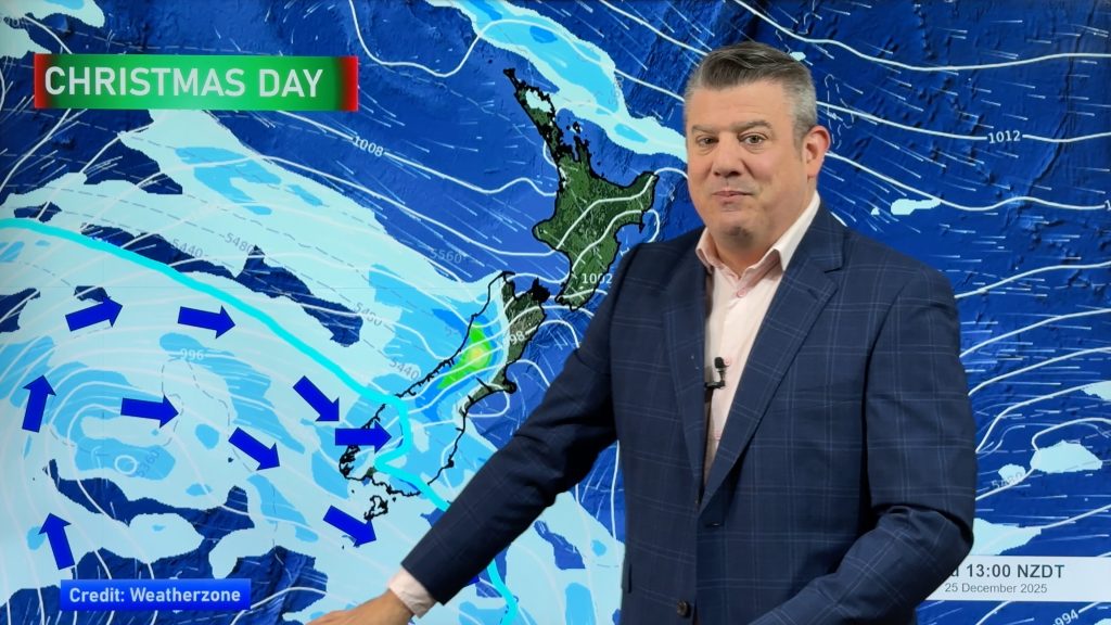
Latest Christmas forecast + New Year’s Eve outlook
We have an extended forecast covering the rest of 2025 as a cold change looks set to kick in from…


Add new comment
Mike on 21/12/2025 12:19pm
Hey Phillip thanks very much for the last 6-7 years I’ve followed you and watch your videos every post!! As its YouTube could you upload a bloopers compilation?? This would be quite a laugh! Cheers.
Reply
Kat on 20/12/2025 7:16pm
Hey Phil thanks for the excellent forecasts. I’ve been getting an error 500 since yesterday for Hamilton and Tauranga forecasts.
Reply
josh on 17/12/2025 10:16pm
hi phil and ww team can I order a fine day for christmas day for Auckland next week. i noticing a shower icon currently. please get rid of it lol.
secondly fantastic work this year guys. i will continue to support weatherwatch and keep watching this grow. say thanks to that green hand who filled in for Phillip while he was recovering too.
merry christmas and happy new year . Have a nice break when you go on break and see you again next year.
from josh.
from josh.
Reply
WW Forecast Team on 18/12/2025 1:56am
Thank you Josh, much appreciated,
Phil
Reply
Jet on 15/12/2025 6:30am
hi guys what would the setup need to be if nelson had strong Southerlies?
Reply
WW Forecast Team on 17/12/2025 4:45am
Hey Jet, you need strong high pressure building from Tasmania and moving into the South Island while a stormy low pressure zone lies east of Wellington, that would do it.
– WW
Reply
View more comments