> From the WeatherWatch archives
Forecasters in New Zealand are writing and re-writing forecasts as Tropical Cyclone Wilma continues to move towards us.
The cyclone will become a category 4 cyclone by tomorrow morning.
Weather forecasts for Auckland provided by both WeatherWatch.co.nz and state owned MetService have literally gone from one end of the scale to the other within 24 hours.
The flip flop forecasting is a sure sign that something of tropical nature is coming our way.
Long range forecasts (beyond a couple of days) are incredibly hard to predict when a tropical system is involved, simply because the area of severe weather is so small compared to most lows that affect us.
A low of tropical origins has the severe weather wrapped tightly around its centre, whereas lows that form around New Zealand and south of us often have the rough weather spreading for hundreds of kilometres away from the centre.
Wilma is predicted to be a severe category 4 cyclone within 12 to 18 hours, something that is quite rare so close to New Zealand.
The eye of Wilma is just 1400kms north west of New Zealand – the same length as our county.
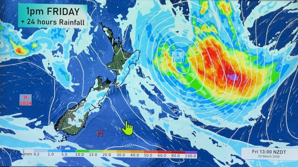
Forecast models, produced globally, are also having huge trouble predicting where Wilma will end up tracking but in the past few hours have started to align themselves, with the most likely track showing what will be a sub-tropical low passing over Northland and then East Cape during Saturday.
The good news is that it is likely to pass through quickly – so it may only be a 24 hour period of rain and wind, then sunnier weather returns.
WeatherWatch.co.nz is now picking that weather will start to improve rather than being wet for all three days of the long weekend.
As we’ve said all week, we thought by Wednesday evening we would have a fairly concrete idea as to what is happening, and the models are today finally starting to align themselves.
Comments
Before you add a new comment, take note this story was published on 26 Jan 2011.


Add new comment
Ross on 26/01/2011 3:44am
This satellite loop gives a nice view of Wilma (and her very defined “eye”) as she races towards us: http://www.goes.noaa.gov/sohemi/sohemiloops/shirgmscol.html
Reply
Nikz on 26/01/2011 3:43am
Are they sure its not going to be a category 4 by the time it comes to Auckland? Should we batten down the hatches just in case?
Reply
WW Forecast Team on 26/01/2011 3:51am
Hi Nikz,
While it will be a strong cyclone just hours before it reaches New Zealand it is likely to go the way Zelia did – a rapid death just before reaching us. In saying that, Zelia still dumped flooding rains on the West Coast. Wilma is more likely to cross the upper North Island. No need to panic – but just stay up to date with the forecasts, weather warnings/watches and the latest news here at WeatherWatch.co.nz in the coming days. No models show a major storm for NZ at this stage.
– WeatherWatch
Reply
Guest on 26/01/2011 3:23am
Hi there,
We have a cricket match on saturday 🙂 according to the weather report it doesn’t seem to happening though but just out of curiosity is there any chance of change for the forecast for saturday now?
Thanks
Reply
WW Forecast Team on 26/01/2011 3:36am
Saturday is now looking "very likely" for rain to be moving in. We still aren’t sure of the exact timing of the low, but we expect we’ll have a fair idea by tonight and tomorrow morning. Looks as though Saturday will be a wet day.
– WeatherWatch
Reply
Guest on 26/01/2011 9:04am
Hi ive checked every possible forecast for new plymouth for saturday and its all different rain cloudy sunny but showers??? what are your predictions? very important day ahead. thanks =)
Reply