Brollies and raincoats – #WeatherRisks on Wednesday
18/08/2015 7:00pm

> From the WeatherWatch archives
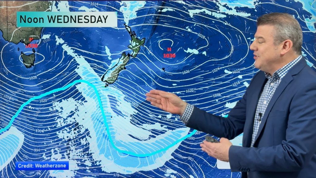
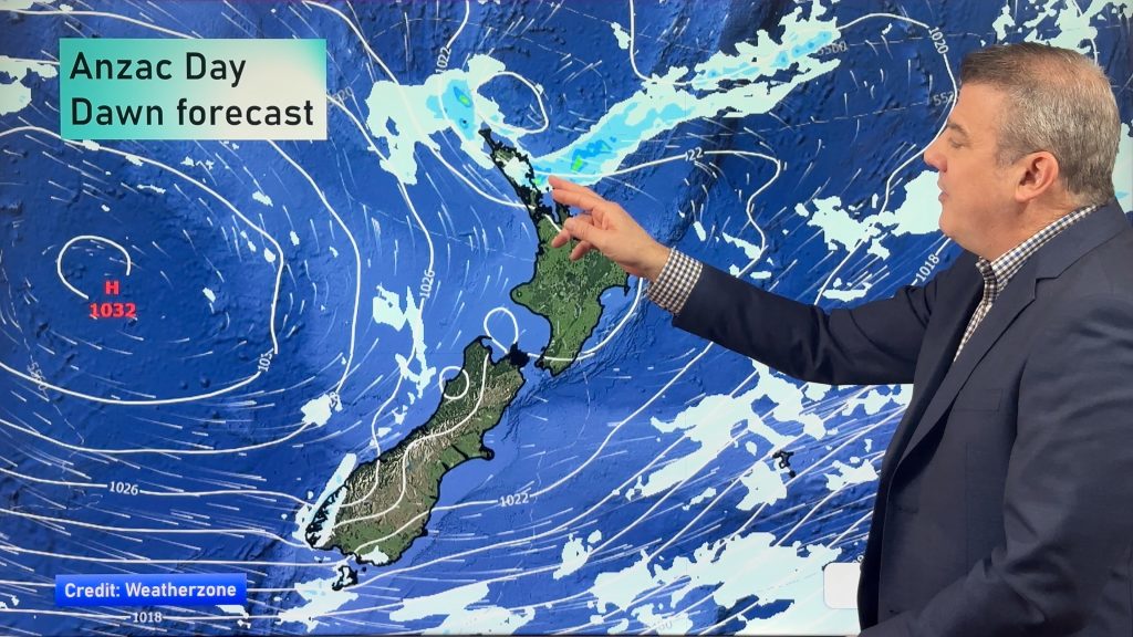
A northwards moving front will start to impact on the North Island’s weather after affecting the South Island over the start of the week.
Rain
It’s still impacting on the South Island though, with heavy rain expected about the Buller and northwest Nelson area in the morning, before clearing away.
Rain then moves onto the west of the North Island around midday, with the chance of a heavy fall anywhere from Northland through to about Taranaki and the Central North Island.
It’s not looking serious or sustained, but there is a lot of precipitation along with this system so it could well fall in heavy bursts.
Wind
Northerly winds through the Cook Strait area will be strong in the morning, maybe not to consistent gale strength, but perhaps a risk of gale gusts at times.
Snow
At the other end of the country we have a cold southwest change moving in, from mid afternoon through to evening in Southland right through to Otago, bringing some snow down to 500m.
This should again be brief, though again it’s looking a little unstable – so keep an eye on the southern skies!
– Aaron Wilkinson & Drew Chappell, WeatherWatch.co.nz
– Photo:
Comments
Before you add a new comment, take note this story was published on 18 Aug 2015.


Add new comment