
Weather Forecast for Auckland36m above sea level
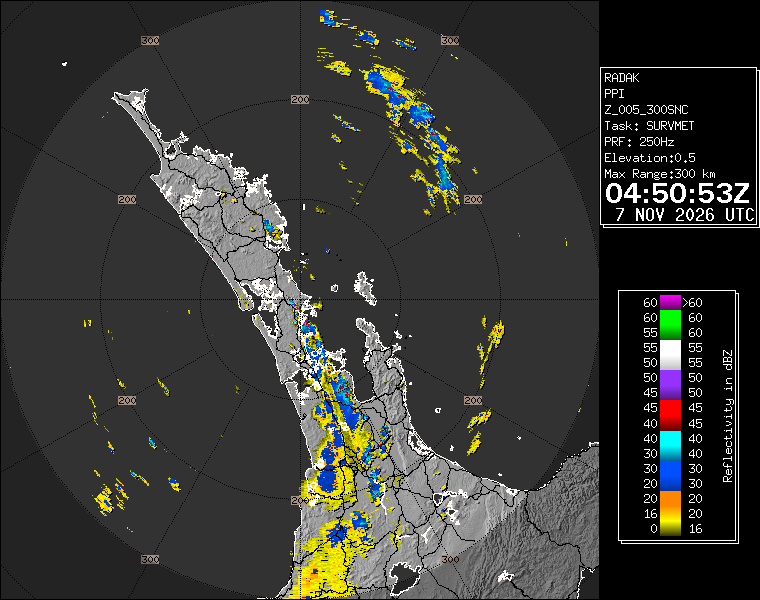
While most Thunderstorms and Downpours are now tracking out to the east and south-east of the city, there are still further remaining showers, downpours and thunderstorms developing/possible. The fast developing nature of these downpours means rainfall can exceed what is forecast. Monitor on Rain Radar and our Lightning Tracker. Sunny spells and large dry spells developing. Northerly winds.
Now
Today
Tonight
Next 24 Hours in Auckland
Next 9 Days in Auckland
Day
Night
26km/h
chance
of rain
26.4mm
Day
Night
31km/h
chance
of rain
24.1mm
Day
Night
21km/h
chance
of rain
3.9mm
Day
Night
22km/h
chance
of rain
0.7mm
Day
Night
26km/h
chance
of rain
trace
Day
Night
18km/h
chance
of rain
trace
Day
Night
21km/h
chance
of rain
trace
Day
Night
25km/h
chance
of rain
5.4mm
Day
Night
24km/h
chance
of rain
3.4mm
Comments
Comments have now been switched off as we are primarily a weather data website, please follow us on social media to comment on day to day weather.
Facebook: facebook.com/WeatherWatch.co.nz
X (Twitter): twitter.com/WeatherWatchNZ
Instagram: instagram.com/nzweatherwatch
YouTube: youtube.com/c/WeatherWatchNZ1
Have questions of a commercial nature? Contact us directly here.
Thanks for your support!
Don’t forget to check out our RuralWeather.co.nz website (great for event planning or attending + camping!) and also, our brand new Weather Alerting App!



Temperature Forecast
Latest Video
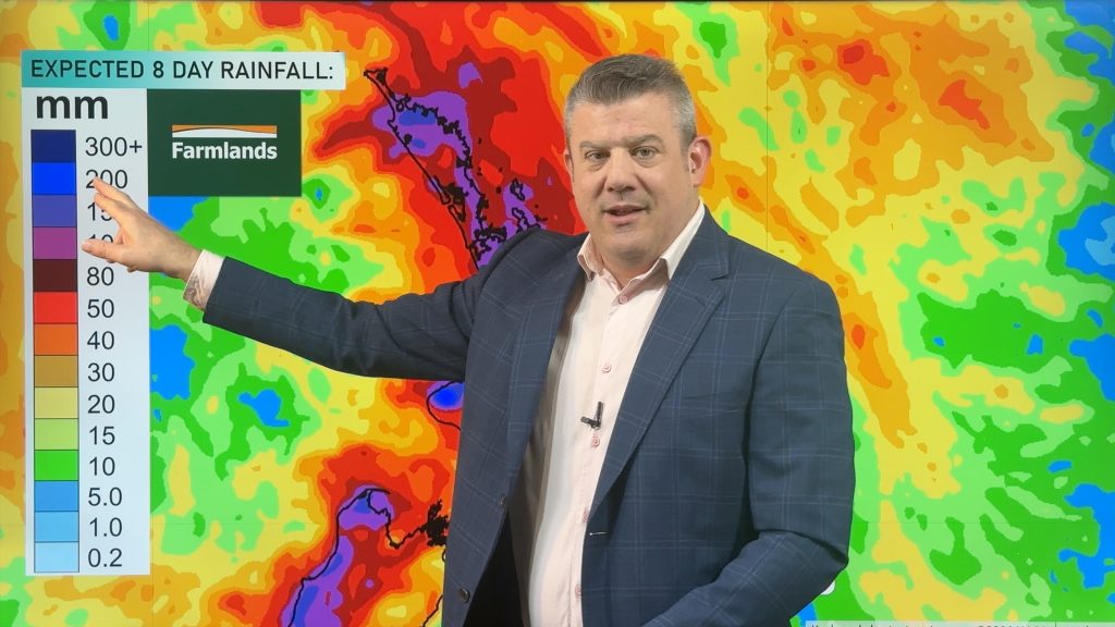
Thunderstorms, heavy rain potential 7 days ahead
Three low pressure zones look to bring rain into very dry parts of NZ over the coming days and week…


Blake Harvie on 6/05/2026 1:58pm
The weatherwatch ‘day’ starts at 7am and finishes at the same time the following day. A 24 hour period.
Are you satisfied that this best meets the needs of your viewers?
It’s confusing somewhat I feel. I could look at Thursday for example and there’s no rain predicted… when in fact there might be a strong possibilty of rain on Thursday between 0000 and 0700. But you’ve accounted for that rain on Wednesday. It’s just not correct. A civil/calendar day would be better in my opinion.
Cheers,
Blake
WW Forecast Team on 6/05/2026 2:10pm
Hi Blake, that is the way the data is delivered to us and currently we don’t have a work around for it. Visit RuralWeather.co.nz or download our app for clearer rain graphs.
Kind regards,
– WW
Bruce on 10/05/2026 7:11pm
7am is a start of the day ,after a night of sleep. I think the 7am to 7 am day is good practical solution.
It shows overnight rain etc as part of that night, not rain to midnight then rain to 7 am, so you don’t have to add two figures together to get the overnight forecasted rain.
In the olden days before computerisation to weather day was 9 am to 9 am, so the met staff could do their reading during the working day.
Fi on 12/05/2026 4:39am
Yeah, I agree, I like it like that too. Most of the time I want to know what is happening when I’m going to be outside working, not asleep in bed. I check out the hourly breakdown for a closer look if I want to know more.
Colin Gibbs on 30/04/2026 12:00pm
Hi, there is a lot of noise on social media and news sites about the El Nino this year. Maybe you could do a video with the facts as they are known as of now?
WW Forecast Team on 30/04/2026 12:13pm
Hi Colin, we will do next week 🙂
– WW
josh on 30/04/2026 12:57pm
drought for Auckland and for places that been flooding last 4-5 years?
View more comments