New airflow but similar wind direction as Antarctic blast retreats offshore
3/07/2023 3:59am
> From the WeatherWatch archives
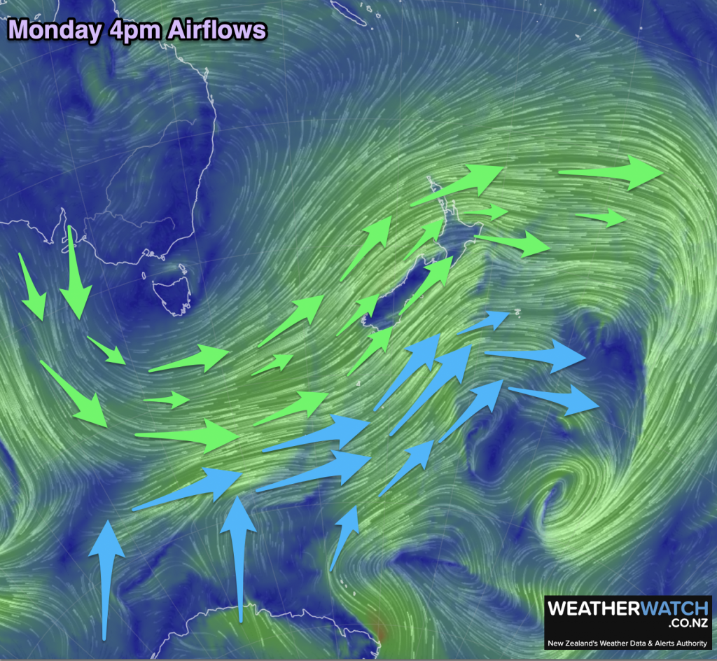
The Antarctic portion of the winter storm feeding into New Zealand has now moved eastwards, off the mainland and out over the Chatham Islands – where it will soon also clear. Whilst NZ still has a big windy south-west airflow, the air feeding into it shifts from being partially Antarctic to now coming out of Australia and south of Australia.
Put simply – it’s like turning off the ‘freezing cold’ tap and turning on the ‘kinda cold’ tap.
This means the air temperature, for this time of year, may actually be a little milder than it might normally be – especially after a cold blast. Of course, Antarctic airflows into NZ don’t usually linger more than a few days and this one is being kicked eastwards by a more powerful westerly flow between the big storm in the Southern Ocean and a strong high over Australia. At WeatherWatch.co.nz we often refer to this as a “squash zone” – a mostly straight line of windy gales which will blow over NZ tonight and across Tuesday (easing slowly) keeping temperatures up for many and the frosts away overnight for most. The airflow direction will be west to south-west.
Monday may feel a bit like a spring or autumn pattern for some people, especially when the weather shifts so fast from a wintry blast to a windier, slightly milder set-up. But for those further south (and east for a time) the air will remain colder for longer this week, with airflows being dredged up from further south over the icy Southern Ocean.
NZ usually experiences peak winter cold over July and August, and sometimes the first half of September (mainly southern NZ). June this year, like April, was much warmer than average and RuralWeather.co.nz’s latest ClimateWatch update out today for July suggests the milder theme will still likely dominate in the weeks ahead despite these occasional wintry blasts.

– WeatherWatch.co.nz
Comments
Before you add a new comment, take note this story was published on 3 Jul 2023.
Latest Video
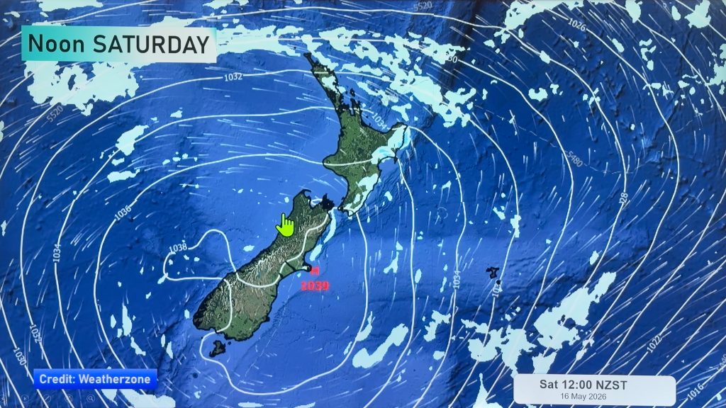
NZ 8 day outlook as high pressure moves through
High pressure will cross the South Island this weekend bringing light winds, cold nights, frosts and fog, while the North…
Related Articles
NZ 8 day outlook as high pressure moves through
High pressure will cross the South Island this weekend bringing light winds, cold nights, frosts and fog, while the North…
Eastern cloud/showers for the NI, high pressure expands elsewhere
A colder south to south-east flow will keep clouds and showers moving into some eastern parts of the North Island…
High pressure growing slowly, eastern showers for NI
A colder airflow is spreading across all of NZ now and will continue on as high pressure slowly moves towards…


Add new comment