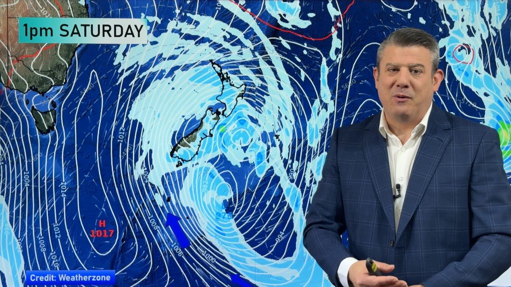
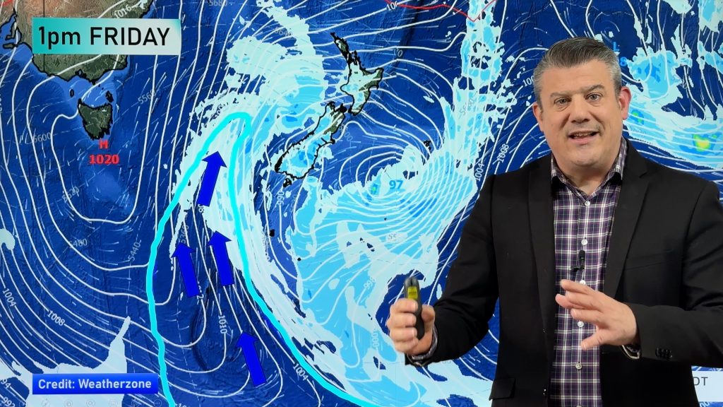
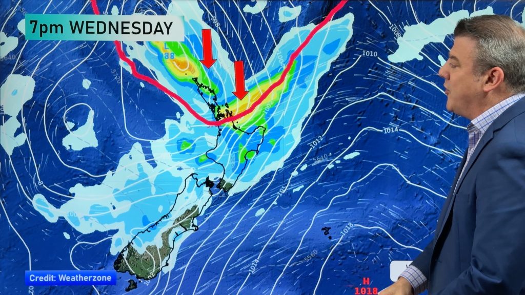
Gita no longer tropical but still a cyclone with severe gales (+4 Maps)
19/02/2018 11:46pm

> From the WeatherWatch archives
The Joint Typhoon Warning Center – the global organisation that monitors and forecasts all tropical storms – late this morning declared Gita fully “extra-tropical” at latitude 35.5S. But Gita this afternoon remains a storm with winds equal to a category 2 tropical cyclone as it churns towards central New Zealand.
The core of the storm has turned cold and the rain has shifted to the southern half of the cyclone – this is dramatically altering the look of the storm on satellite maps, it no longer has that perfect cyclone look and once it reaches New Zealand it will lose it’s perfect circular shape at the centre too – as it morphs into two low pressure systems and the energy is spread out over a much larger area.
Gita actually picked up strength a little this morning, winds averaging 93km/h lifted to just over 100km/h. However before it reaches New Zealand it will likely weaken a small amount – maybe around 20km/h with the sustained winds – making it equivalent to a strong category 1 tropical cyclone. This makes it damaging still with flooding rains (with tropical origins so rain will be torrential at times), dangerous seas and destructive winds. New Zealand’s terrains will push the wind gusts right up, potentially to 150km/h+ in exposed ranges/hill tops/wind tunnels etc.
Significant rain has already fallen in some parts of the upper South Island with over 50mm and the storm is still hours away from bringing the torrential areas of rain.
Landfall of Cyclone Gita still looks likely to be this evening – anytime from 6pm to 10pm and still the north western corner of the South Island/Cook Strait area looks most likely to be hit – this may still change a little, we’ll keep you posted if we see any big changes.
Significant storm surge is still expected from Westport to as far north as Waikato and even Auckland on the western coastline.
The worst winds appear to be tracking between about Hokitika/Christchurch to New Plymouth/ Wellington but gales will likely extend beyond that, as far north as Auckland and as far south as even Fiordland through the mountains.
Because Gita has lost that warm core and “tropical” cyclone status the middle is changing already and the rain bands in the southern half of it will continue to extend and grow this afternoon and evening. Rainfall totals look significant in the South Island, in particular from about North Otago northwards.
This stretching out action of the centre of the cyclone, now that it’s extra-tropical, means the winds at the centre will expand and so once Gita makes landfall there could be areas of calm through Central New Zealand amongst the pockets of damaging winds. The Southern Alps and ranges of the lower North Island, plus Cook Strait, all work to make this a very complicated forecast to work out and communicate precisely – there are many moving parts which will be continuously changing once Gita makes landfall.
The storm is also picking up speed and the centre is now travelling SW at 28 knots (52km/h) as it comes towards New Zealand.
By noon Wednesday the worst will be over but more rain will be falling across the South Island which could be an issue if some areas are flooding.
If you’re still confused about what extra-tropical means, click here for more details via Wikipedia.

ABOVE and BELOW 6PM TUESDAY
BELOW: 6pm Tuesday wind gust map
BELOW: Midnight wind gust map.
– Maps ECMWF
– WeatherWatch.co.nz
Comments
Before you add a new comment, take note this story was published on 19 Feb 2018.


Add new comment
Dave on 20/02/2018 2:44am
Unbelievable Phil, when driving around I hear radio people saying the storm is over hyped.
It really does my head in, when you guys have done & are doing a fantastic job warning people & some media are irresponsible. Sheeesh
Keep up the great work
Cheers
Dave
Reply
Guest on 20/02/2018 2:28am
and these same people were talking drought when we were dry in was it 12 or 13 we didn’t get any cyclones and thunderstorms much at all……just saying was there el
ninos those years no front by passed the south island and gave us rain……just saying
Reply
Guest on 20/02/2018 2:19am
Is downgraded the right term, I see this being reported all the time. In this case hasn’t just being renamed?
I always come here for well balanced weather facts, thank you for your excellent service.
Reply
Damo on 20/02/2018 1:55am
great update and visuals as usual. Easy to see why you are NZ best forecasters.
Reply
Guest on 20/02/2018 12:21am
Thank you all, for your in depth information, once again. I really appreciate knowing what is happening and also knowing the possible potentials as the day progresses.
So pleased we have your website. Many thanks
Reply
WW Forecast Team on 20/02/2018 12:26am
Hi there, thanks very much for the supportive feedback – very kind of you and glad we can provide some understanding around these complicated systems.
Cheers and stay safe!
WW
Reply