> From the WeatherWatch archives
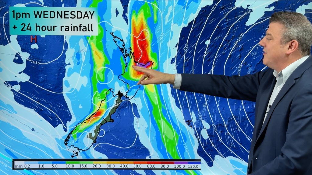
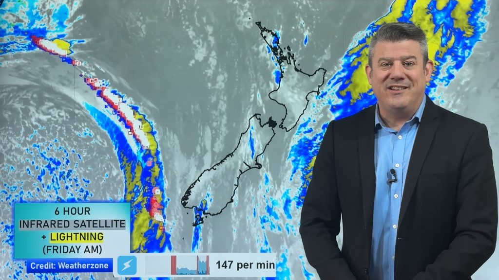
It was another wet and windy night for some areas but the worst of the storm has not only well and truly peaked now, but the entire low is starting to clear New Zealand.
For today the country is in the tail end of the storm, with windy southerlies to south westers blowing.
Some wet weather remains but it is easing around Wellington this morning and Hawke’s Bay. The south to south west flow will continue to drag in a few showers here and there.
If you’re camping there is good news – the winds and rain are easing today.
Winds ease by the end of Saturday and through Sunday for many places, ensuring a better nights sleep ahead if you’ve been in a loud flapping tent for the past few nights!
There are a few isolated showers on Monday and even fewer on Tuesday.
There is one lingering problem for Saturday – dangerous beach conditions for swimmers and families on both the eastern and western sides of New Zealand. As the storm departs it will kick up the eastern beaches a bit more with dangerous rips, waves and currents.
Swells of over 8 metres are expected at sea to the east of Wairarapa on Saturday afternoon, sending large waves up the east coast. Surfers are advised to take extreme care.
However conditions may become more favourable in the east of the Upper North Island, around Auckland, Coromandel Peninsula and Bay of Plenty – but still expect stronger rips today with the king tides and still some choppy conditions out there.

– Swell map for 4pm Saturday shows rough seas to the west and east of NZ, especially to the east of the North Island.
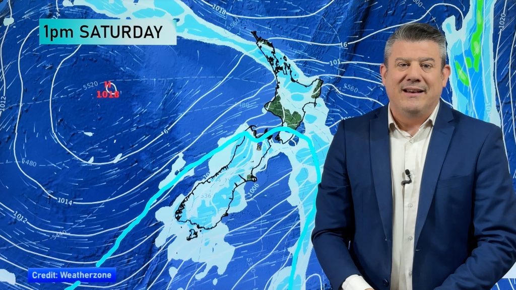
 ABOVE – 7am Saturday
BELOW – 7pm Saturday, the low clearing away
– Maps above by Weathermap.co.nz
A DRIER WEATHER TREND RETURNS TO NEW ZEALAND:
The 7 day precipitation map for New Zealand shows overall drier weather is returning to most places:

– Data courtesy of the US Government
– WeatherWatch.co.nz
Comments
Before you add a new comment, take note this story was published on 6 Jan 2018.


Add new comment
celtickiwi on 5/01/2018 9:39pm
Mate, Hawera has had a wonderful drenching of rain with little to no wind during the course of this storm. We are so relieved because our tomatoes are doing so well this season we were dreading losing them to wind damage. I have noticed this happen with another storm system that came down from the north last year. All these dire storm/wind warnings were being broadcast and storm damage and flooding were being reported but Hawera enjoyed good steady rain with hardly a puff of wind. It’s bloody wonderful. We have only lived in Hawera for three years now so we are still learning how our area is affected by weather systems. When we first moved here from the east coast we noted that Hawera is typically a windy area. I tried to work out why that was and when I looked at the wind maps it appeared to me that we are affected by the ‘spin-off’ from the winds going through the cook straight. I notice we are more susceptible to the winds from the south. Anywhoooo, just wanted to let you know we are all good in our neck of the woods, and at this stage we are still looking forward to some wopper beefsteak tomatoes coming off our vines
Reply