
> From the WeatherWatch archives
The weather bureau’s outlook for June to August is forecasting a drier and warmer winter in southern and Western Australia, and a warmer season in the north.
The latest seasonal climate outlook shows there’s a more than 60 per cent chance maximum temperatures will be above average, with that chance increasing to 80 per cent over western, southern and eastern coastal regions, and Tasmania.
There’s also a more than 60 per cent chance that minimum temperatures will be above average.
The weather bureau’s manager of climate prediction services Andrew Watkins says the rainfall outlook shows drier than normal conditions are likely through the southern half of Australia.
“Southern Australia where you normally get winter rain, we are expecting odds of between 60 to 70 per cent chance of being drier than normal,” Dr Watkins said.
But the exception is Tasmania.
“Tasmania actually has an outlook slightly above normal, we believe this is due to large scale patterns, where we have decreased pressures in the southern Pacific Ocean, well-off to the east of Tasmania there is large areas of lower than normal pressure and that seems to be changing the storm tracks and giving Tasmania a bit more chance of rain,” Dr Watkins said.
He says the two main factors influencing the Australian climate are a warming tropical Pacific and an easing of warmth in the eastern Indian Ocean.
The warming tropical Pacific Ocean is associated with El Nino events, which bring direr conditions to eastern Australia.
“Some models have us going into El Nino by July, some a little later, generally all our models are warming up that Pacific Ocean, making things a bit more El Nino like,” Dr Watkins said.
In NSW Climatologist Agata Imielska says that the model is favouring drier and warmer conditions right throughout all of the state.
“This May has been unusually warm already and we are heading on track for one of the three hottest Mays ever recorded.
“The El Nino is definitely on the way for later in the year and we are very confident in the accuracy of our modelling now.
“The probability at around 70 per cent chance of an El Nino, which will lead to drier and warmer conditions, is very high.
“In a normal year the chance of El Nino is only 30 per cent.”
In Queensland, the Bureau of Meteorology has released it’s latest seasonal outlook, and it reinforces that we are heading into an El Nino phase.
With 75 per cent of Queensland still drought declared, this is not the forecast producers wanted to hear.
BOM Climatologist Jeff Sabburg says the south of the state can expect warmer days and nights and below average rainfall.
“In the south there, is 35 to 40 per cent chance of above median rainfall, conversely that means there is a 60 to 65 percent chance of below median rainfall,” he said.
“We have to remember that winter is the dry season, so median rainfall is quite low anyway.
“It’s the temperatures that are really off the chart in the south in particular.
“On the coast, there is a 75 to 80 per cent chance of being above the expected maximum temperature median, during the day and minimum temperatures are very high as well.”
– Weatherzone/ABC
Comments
Before you add a new comment, take note this story was published on 28 May 2014.
Latest Video
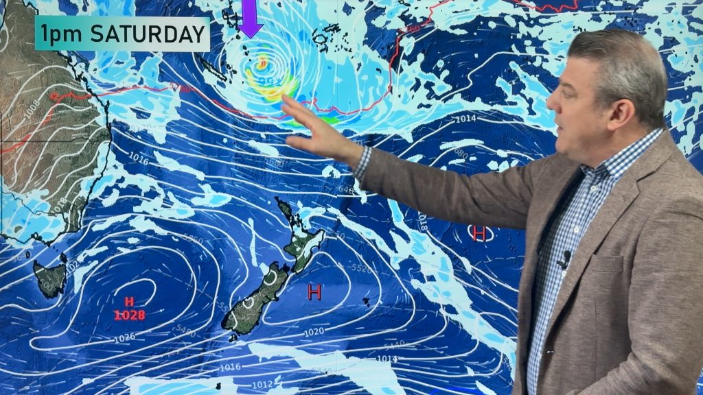
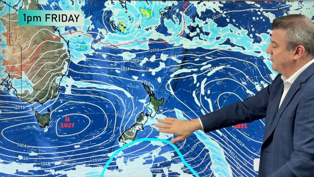
Monitoring potential tropical storm + southerly change arrives Sunday
High pressure smothers New Zealand today but a cold front is coming on Thursday, and a colder/cooler southerly change for…
Related Articles
Monitoring potential tropical storm + southerly change arrives Sunday
High pressure smothers New Zealand today but a cold front is coming on Thursday, and a colder/cooler southerly change for…
Feb’s last week: High pressure, cold fronts and a tropical low
The weather this week smacks of late February with some settled, warm, dry days in the mix – along with…
Latest on severe weather risks leading up to Sun/Mon’s east coast storm
Severe weather risks start today, even though a storm isn’t forecast until Monday as low pressure replaces high pressure over…


Add new comment