
> From the WeatherWatch archives
Blog – from head weather analyst Philip Duncan. Read his other NZ Herald blogs here
We’re definitely not getting a repeat of last weekend’s settled weather this weekend as Mother Nature hands out more ‘typically spring’ weather conditions.
The wind makes a come back and for those planning on skiing conditions don’t look too positive I’m afraid. Your best bet will probably be Mt Ruapehu early on Saturday – but those nor’westers will pick up and most likely reach gale during the day.
So a basic run down:
FRIDAY:
NORTH ISLAND: Strong nor’westers will develop over Wellington and other regions south of Palmerston North later today or overnight tonight. For places north of Central Plateau the weather should be mainly sunny and settled with light winds and coastal sea breezes. The UV index is already reaching “High” or “6” on the UV scale – so people should avoid the sun during the middle of the day and slip, slop, slap and wrap. SOUTH ISLAND: A deep low in the Southern Ocean is pushing against a very large area of high pressure over the North Island – and strong west or north west winds will move into southern regions later. Southland, Stewart Island, Fiordland and the Southern Alps interior may see gusts up to 140km/h in some exposed places. Not the best day to head out on a cruise or go kayaking!
SATURDAY:
NORTH ISLAND. Strong winds will buffet the lower and eastern parts of the North Island bringing a jump in temperatures across places like Hawkes Bay and Gisborne. Highs of 25/26 are possible for inland areas there as those dry, warm, westerlies continue. For Auckland and other regions north of Central Plateau Saturday should be relatively sunny but those nor’westers will pick up and drag in some clouds. Showers are possible after dark. SOUTH ISLAND: A southerly change will spread northwards bringing a period of rain or showers for many. Warm nor’westers will change to cool southerlies on Saturday afternoon.
SUNDAY:
NORTH ISLAND: Patchy rain or showers over northern regions with nor’westers continuing. Further south and Wellington will have a cool southerly change. Those strong winds should ease or die out for many places North Island-wide. SOUTH ISLAND: Showery conditions but the winds will ease and the sun should start to make an appearance again.
RAIN TRACKER: Don’t forget we’re regularly checking where the rain or showers lie – so to help better plan your weekend outdoors we’ll give you all the latest info on where the wet stuff lies and whether it’ll affect you or not – updated regularly throughout the weekend. For more details on the Rain Tracker click here.
Also – don’t forget we return to summer sunlight hours on Sunday with the start of Daylight Savings – at the extra early time this year! So before ya go to bed on Saturday night remember to ‘spring forward’ one hour on your clocks.
Comments
Before you add a new comment, take note this story was published on 25 Sep 2008.
Latest Video
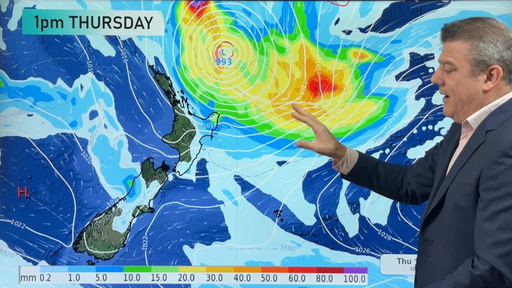
Subtropical low (yes, another one) to brush the NI, high pressure still in charge
A subtropical low will power up over the next 24 hours and brush past the north-eastern corner of the North…
Related Articles
Subtropical low (yes, another one) to brush the NI, high pressure still in charge
A subtropical low will power up over the next 24 hours and brush past the north-eastern corner of the North…
NZ weather: Skies will get drier before they get any wetter
High pressure is the main feature of New Zealand’s weather this week, the upcoming weekend and likely kicking off next…

NZ 8 Day: High pressure to return, also monitoring tropics next week
A cooler change is moving into NZ tonight and Saturday then winds ease further on Sunday as high pressure starts…


Add new comment
SW on 25/09/2008 6:52pm
You know when its daylight saving time again,after a reasonably settled September on comes the DST and the weather goes to the dogs.Didnt matter if it started in October,the same result.
Reply
WW Forecast Team on 25/09/2008 8:15pm
Haha – how does Mother Nature always know that?!
Phil
Reply