
> From the WeatherWatch archives
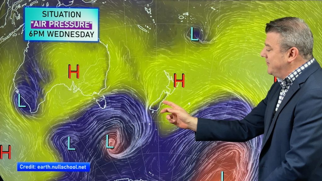
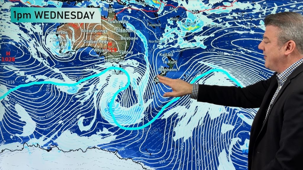
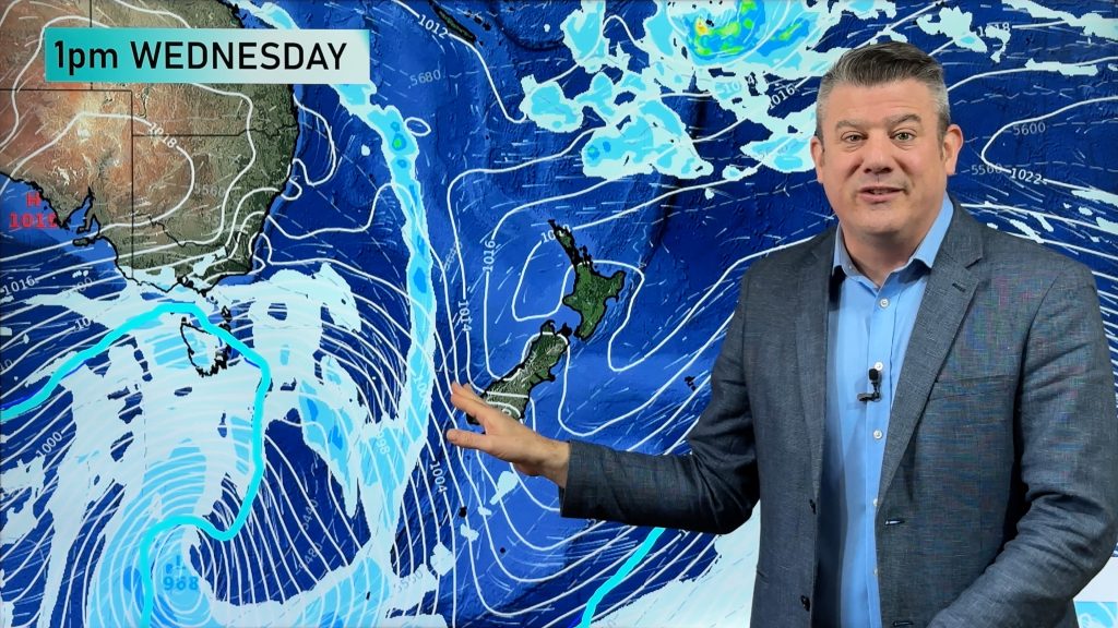
Tropical low June moves southeast over the North Island today, the main feature today will be strong southwesterly winds on the backside of the low as it moves through affecting many in the upper North Island area. Winds will also be strong about southwestern regions of the North Island. For the South Island it’s drizzle for most in the east with rain for Marlborough, the best weather once again about Fiordland.
southwest. Southwesterlies gusting to gale force at times especially in exposed
areas this afternoon. Showers ease in the evening although still persisting now
and then. Eastern Northland sees sunny spells from mid afternoon onwards.
Central North Island, Waikato & Bay Of
Plenty
rain eases to showers in the afternoon for all as humid easterlies change brisk
southwest then strengthen. Showers then clear by midnight.
Eastern North Island
breezes tend southwest in the evening with rain easing to showers for most.
Showers then clear around midnight.
Western North Island
winds tend strong southwest, gust to gale force at times. Rain then clears by midnight. About northern Taranaki rain
eases more in the afternoon then clears with even a few sunny spells then
possible.
Wellington
develop this morning. Remaining rain or showers clear overnight.
Nelson
afternoon and clears by evening with southeasterlies then easing.
Marlborough
Brisk southeasterlies. Remaining showers clear overnight.
Canterbury
near the coast. East to northeast breezes with areas of drizzle clearing in the
evening.
West Coast
brief shower or two possible from afternoon any of which clear around
midnight.
Coastal Otago
times mainly morning and evening.
Central Otago
Mostly sunny
with light winds tending southwesterly in the afternoon, more frequent areas of
cloud in the east with winds tending easterly there.
Southland
morning.
By Weather Analyst Aaron Wilkinson – WeatherWatch.co.nz
Comments
Before you add a new comment, take note this story was published on 20 Jan 2014.
Latest Video
VIDEO: NZ on the edge of high pressure until next week – then rain/showers return
High pressure affects most of NZ over the days ahead but because it’s centred offshore it’s pulling down warmer winds…
Related Articles
VIDEO: NZ on the edge of high pressure until next week – then rain/showers return
High pressure affects most of NZ over the days ahead but because it’s centred offshore it’s pulling down warmer winds…
VIDEO: Low pressure returns to NZ next week – here’s what’s happens between now & then
It’s the Melbourne Cup today, Guy Fawkes tomorrow and high pressure continues to cover much of NZ bringing lighter winds…
VIDEO: High pressure in charge, who gets the showers & wind between now & Sunday
High pressure is controlling NZ’s weather this week and coming weekend, but there are still some windy and wet areas…


Add new comment