
> From the WeatherWatch archives
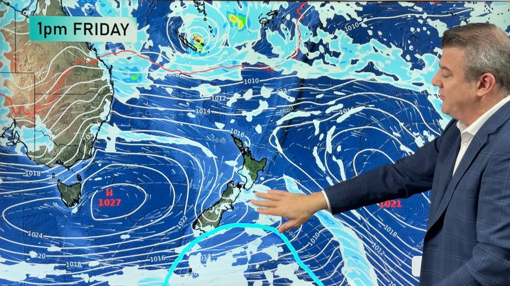
A front moves northwards over the South Island today weakening as it goes, a strong northwesterly airflow ahead of the front then changing to the south or southwest in behind.
Northland, Auckland, Waikato & Bay Of Plenty
Areas of cloud and some sun, cloud thicker this morning in general with sunny spells a little more frequent after midday. West to Southwesterly winds.
Highs: 21-24
Western North Island (including Central North Island)
Cloudy areas and occasional sun, more so from afternoon. West to northwesterly winds pick up after midday becoming gusty at times.
Highs: 18-21
Eastern North Island
Mostly sunny with some high cloud, northwesterly winds a little breezy at times. Hot!
Highs: 28-32
Wellington
Cloudy areas and occasional sun, northwesterly winds strengthen gusting to gale at times from afternoon.
High: 20
Marlborough & Nelson
Mostly sunny with some high cloud, brisk to strong northwesterlies from afternoon.
Highs: 23-27
Canterbury
Sunny areas and some high cloud, gusty northwesterlies (strong to gale at times especially inland) tend southerly this evening.
High: 29
West Coast
The odd light shower, rain this morning about South Westland pushes further north during the afternoon. Rain may be heavy for a time then clearing as northwesterly winds change southwest.
Highs: 17-18
Southland & Otago
A few morning showers then cloud breaks to some sun around midday as northwesterly winds change strong to gale WSW.
Highs: 17-24
By Weather Analyst Aaron Wilkinson – WeatherWatch.co.nz
Comments
Before you add a new comment, take note this story was published on 26 Dec 2016.
Latest Video
22/02/2026 10:53pm
Feb’s last week: High pressure, cold fronts and a tropical low
The weather this week smacks of late February with some settled, warm, dry days in the mix – along with…
Related Articles
22/02/2026 10:53pm
Feb’s last week: High pressure, cold fronts and a tropical low
The weather this week smacks of late February with some settled, warm, dry days in the mix – along with…
18/02/2026 10:51pm
Cold fronts and high pressure – a fairly standard late February forecast
High pressure is increasing around New Zealand this weekend and next week – but it won’t always be centred over…
17/02/2026 11:03pm
7 Day Weather: A few weak cold fronts, but a lot more high pressure
We’re not done with summer – if it does feel a little Autumnal at times now. We have a few…


Add new comment