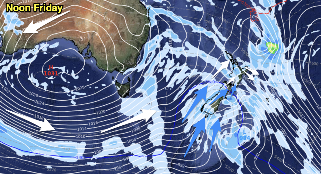
A ridge hangs onto the upper North Island today while the rest of New Zealand has a northwesterly airflow. A front also affects the lower South Island.
Northland, Auckland, Waikato & Bay Of Plenty
Mostly sunny, risk of a late afternoon / evening isolated shower especially for inland areas where one could turn heavy. Light winds in the morning then afternoon sea breezes.
Highs: 22-24
Western North Island (including Central North Island)
Some morning sun then cloud increases from afternoon, west to northwesterly winds.
Highs: 19-23
Eastern North Island
Mostly sunny weather with light northwesterly winds, right on the Hawkes Bay coastline afternoon northeasterly winds could keep temperatures a little cooler then just a bit further inland. High cloud thickens up in the afternoon about the Wairarapa.
Highs: 23-28
Wellington
Becoming mostly cloudy in the morning, northerlies strengthen.
High: 19
Marlborough & Nelson
High cloud thickens up in the morning, north to northwesterly winds.
Highs: 20-25
Canterbury
High cloud with some sun at times, light winds tend northeasterly near the coast in the afternoon. There may be a shower about South Canterbury for a time around midday.
High: 24
West Coast
Cloudy skies, the odd light shower or drizzle patch about. Some rain about Fiordland during the day then becoming heavy there overnight. Northerly winds.
Highs: 18-19
Southland & Otago
Morning high cloud and some rain clearing to sunny areas after midday, a few isolated showers possible late afternoon / evening mainly in the east. Winds from the northerly quarter mostly however tending southerly in the afternoon about Southland and perhaps up the coast to Otago Peninsula.
Highs: 20-25
By Weather Analyst Aaron Wilkinson – WeatherWatch.co.nz


Add new comment