
> From the WeatherWatch archives
A storm that has brought the wettest weather to Queensland in years and winds equal to that of a Category 2 cyclone is moving out to shore and could end up here by the end of the weekend.
The low has brought destructive gales of up to 130km/h and 200mm of rain for some parts of Queensland, filling reservoirs but causing major problems for the sugar cane industry. A large high centred over Tasmania has trapped the low and stopped it from heading our way, but during the weekend the high will shift out into the Pacific, allowing the low to shift south east towards northern New Zealand.
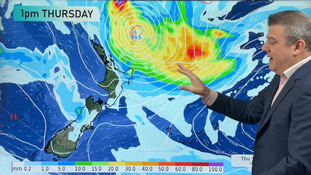
“It’s still too early to be sure where the low will move, and how much further it will deepen, if any deepening at all. However those with interests in Northland and Coromandel Peninsula should keep up to date with the latest forecasts” says the Radio Network’s head weather analyst.
Long range forecasts are also showing wet, windy weather for Auckland on Monday.
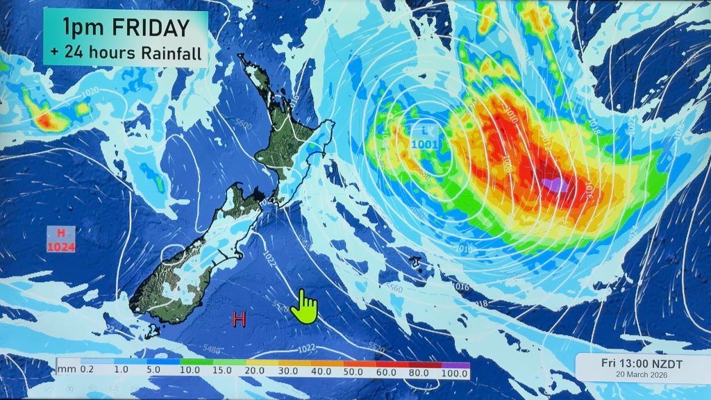
“Any low that moves into the Coral Sea should be a concern to northern New Zealand as a lot of our biggest rainfalls come from this region”.
The MetService is also warning of potential heavy rain for northern New Zealand on Sunday and Monday.
Comments
Before you add a new comment, take note this story was published on 22 Aug 2007.
Latest Video

17/03/2026 10:45pm
Australia: Will Tropical Cyclone Narelle track along half of Oz’s entire coastline?
Tropical Cyclone NARELLE has formed and is heading into northern parts of FNQ, the Katherine region of NT and then…
Related Articles
17/03/2026 10:43pm
NZ 9 Day: Two subtropical lows, but a lot of dry weather
In our extended outlook today we track two subtropical storms, one that will likely miss most of NZ while the…
16/03/2026 10:38pm
Subtropical low (yes, another one) to brush the NI, high pressure still in charge
A subtropical low will power up over the next 24 hours and brush past the north-eastern corner of the North…
15/03/2026 10:45pm
NZ weather: Skies will get drier before they get any wetter
High pressure is the main feature of New Zealand’s weather this week, the upcoming weekend and likely kicking off next…


Add new comment