The stressful art of forecasting showers in drought zones (+4 Maps)
20/02/2020 7:24pm

A good forecaster feels the stresses and celebrations of their audience, which is why when in drought forecasting rain becomes much more critical, to avoid giving false hope but also to keep optimism alive.
It’s a hard fence to be on sometimes when you know the majority love the sunny hot weather day after day but many people live off the land or work on the land and make produce on the land – so months of drought can be incredibly stressful but hurt financially and also mentally and physically.
I’ve noticed at WeatherWatch over the years when drought hits people want to know full details abut every shower that is forecast, about precise rainfall totals. This isn’t usually the case unless people have something specific on, like a wedding or outdoor birthday party. So this is why we set up RuralWeather.co.nz last year, so that people could get a granular weather data update for where they live specifically – hourly and daily rainfall graphs (and totals) going out 10 days.
But sometimes you need a human to help further, to connect the dots or help with grey areas. Which is where our news stories and videos come in.
On Saturday many are asking about rain for northern NZ and thunderstorms. Some rain maps look quite dramatic showing, in some cases, a whole day of rain and widespread thunder. But in reality it’s more likely to be quite broken up with some lighter drizzly falls or spits and others getting a proper downpour. There’s also a fairly high chance of some thunderstorms occurring – but whether they bubble up over land or just out to sea is the million dollar question. Also it may just be one isolated thunderstorm with the conditions borderline for them to form. It’s all down to Mother Nature and timing.
Saturday’s front is a challenge when being highly detailed about it:
There are a number of things making Saturday’s front difficult to perfectly forecast…
- The front has detached from the low itself – the energy maker that fuelled it’s beginning
- The front is weakening and moving into high pressure as it moves in to the upper North Island
- Humidity and daytime heating may help boost this front as it moves over land with some areas seeing heavier falls
- However land may also weaken the front further, leaving only a few spits for others and large dry areas forming, turning the rain band into showers only.
- Thunderstorms may form – but it’s unclear if that occurs overland or just out to sea to our east.
Isolated downpours and thunderstorms – like we may see on Saturday – will be hit and miss and it can be a bit like cooking popcorn in the microwave but stopping short. For example, the cooking time may be 2 minutes but you stop the Microwave at 1 minute and 30 seconds. Some kernels may have popped, most have may not have. 15 seconds longer may make a huge difference. Same goes with this spluttering front moving north and eastwards tomorrow. It has the ability to both move through with drizzly patchy rain and be very little, or, stall and get a little more “cooking time” over land and that afternoon heating may see some bigger downpours with thunderstorms pop up – but that may also be fairly isolated.
It’s a tricky 50/50 set up for many who just want an honest detailed answer. The latest data we’re looking at says, generally, 2 to 10mm is likely to fall over Waikato, Auckland and Northland on Saturday. But if this front stalls and we get some bigger downpours ‘popping’ over land and not out to sea then some may be able to double or even triple those totals.
Hit and miss – as it often is when we’re in drought.
For local rainfall graphs and totals, either hourly or daily across 10 days please visit RuralWeather.co.nz (please note it may take 10 seconds to load all the data first time – and when resources allow we’ll be speeding that up too). My latest weather video today will also have a focus on this rain band to help explain it better.
– Written by head forecaster Philip Duncan


THUNDERSTORM CHANCES: – At the lower end of the scale but certainly some chances for *isolated* thunderstorms developing: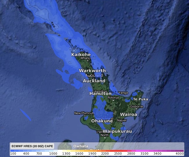
ABOVE: 12 Noon Saturday
BELOW: 6pm Saturday
– WeatherWatch.co.nz for news, video and maps
– RuralWeather.co.nz – For the most NZ weather data available on earth (please allow 10 seconds to load the data first time).
Comments
Latest Video

Sunday Newsfeed: Low pressure areas increase offshore near northern NZ in days ahead
A light easterly kicks in to the north of the North Island on Sunday as high pressure moves south east…
Related Articles
Sunday Newsfeed: Low pressure areas increase offshore near northern NZ in days ahead
A light easterly kicks in to the north of the North Island on Sunday as high pressure moves south east…

VIDEO: 7 Day NZ RainWatch: Who gets rain, who misses out
A cold front will bring winter-like weather into the lower South Island on Saturday but won’t make to the top…

MetService Auckland rain radar offline – helicopter called in
Aucklanders may have noticed the rain radar isn’t working this week. MetService has provided us with an update ahead of…


Add new comment
Guest on 21/02/2020 12:27am
Excellent article Phil, good explanations as usual from you. Thanks for the detail.
Reply
josh on 20/02/2020 8:06pm
nice one weatherwatch. even if theres no thunder i say a low risk of a isolated one but i will be happy to see some rain at least its better than no rain at all am i right? if there is thunderstorms in my area. then its something extra to enjoy. but if theres no thunder just rain. thats ok too. this is our best chance for rain in a while
Reply