Sunday’s national forecast – Classic spring cold front crossing NZ today
16/09/2017 4:00pm

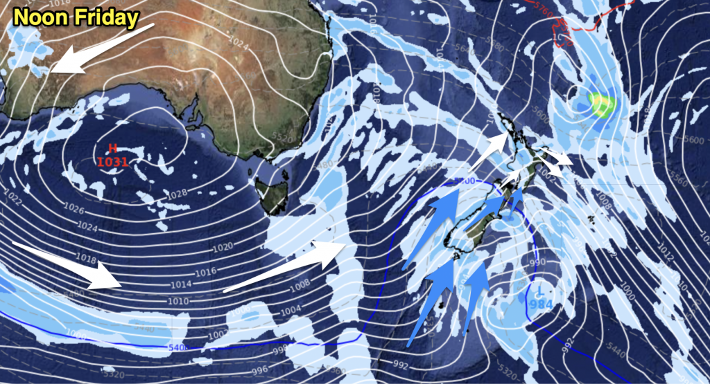
A classic spring set up today with a cold front moving into the country from the west with warm nor’westers ahead of the front and a colder southerly change coming in behind it tonight and overnight for many areas. Monday looks cooler in most regions, especially those in the north and east.
North Island:
Warm north to north west winds with clouds increasing from the west and rain developing in the west – spreading east slowly across the day and into tonight. Winds turning westerly later. Can rule out a western thunderstorm.
Highs: 15 to 24
South Island:
Rain heavy on the West Coast with isolated thunderstorms. Rain spilling over into Nelson and some other eastern areas – but only light spits or the odd shower in coastal Otago or Canterbury. Fairly mild winds from the northerly quarter, turning westerly later with a cold southerly change arriving at night in the south. A few West Coast thunderstorms.
Highs: 7 to 17 (coldest in the south, warmest in the north east)
– WeatherWatch.co.nz


Add new comment