
> From the WeatherWatch archives
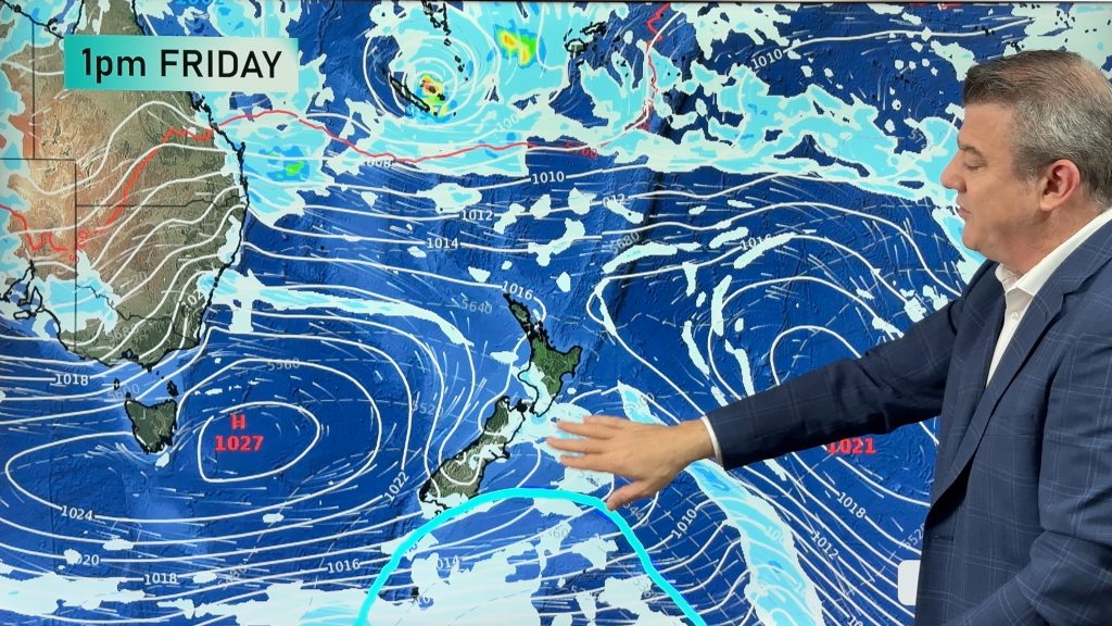
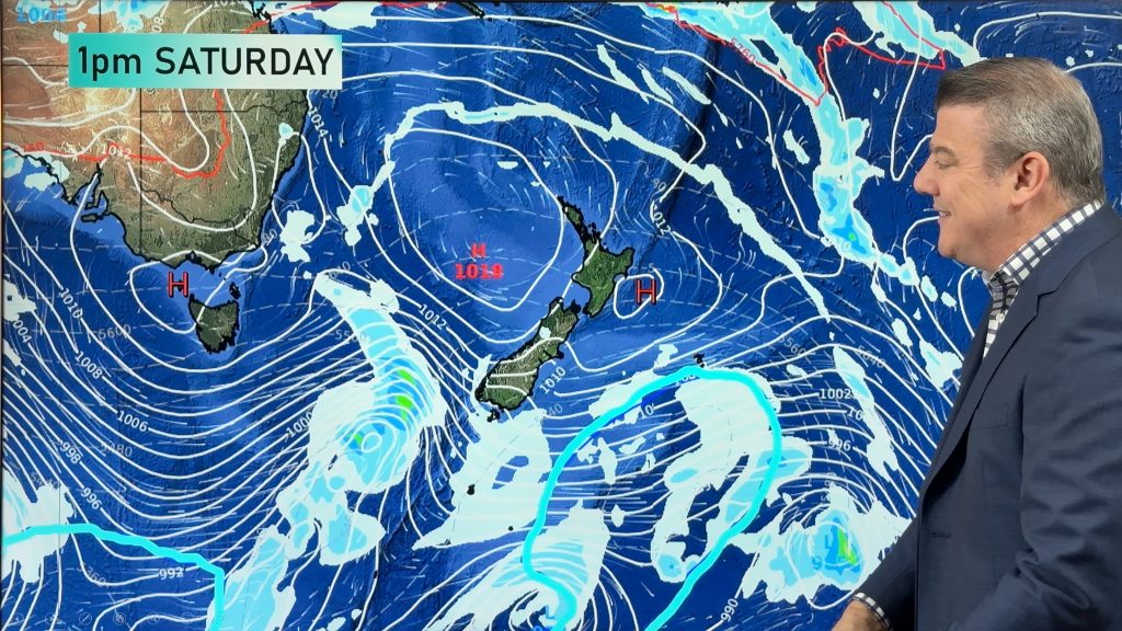
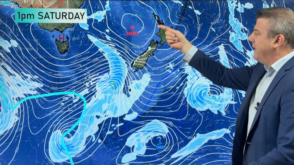
A small low pressure system today develops a little further off the West Coast, moving into the South Island tonight and falling apart. High pressure remains to the north east of NZ and there is a squash zone of air pressure (an area with windy conditions) over the upper South Island/Central NZ/lower North Island.
NORTH ISLAND:
Mostly Sunny in the east, cloudy areas in the western side. Warmer than average for many areas this afternoon, especially in the east. NW winds becoming blustery in exposed parts of the lower North Island. Dry or mostly dry across the island. Cloudy later in the west.
Highs: 14 to 20
SOUTH ISLAND:
Heavy rain slowly moves up the West Coast, not clearing until tomorrow but a mix of sun and cloud in the east. Dry or mainly dry elsewhere although rain develops later in Nelson (mostly likely at night) and some patchy light rain or drizzle may spread across some parts of Southland and Otago (spilling over from the west). A cooler change south of Banks Peninsula, especially in coastal areas of the east.
Highs: 11 to 19
– WeatherWatch.co.nz
Comments
Before you add a new comment, take note this story was published on 29 Sep 2018.
Latest Video
Feb’s last week: High pressure, cold fronts and a tropical low
The weather this week smacks of late February with some settled, warm, dry days in the mix – along with…
Related Articles
Feb’s last week: High pressure, cold fronts and a tropical low
The weather this week smacks of late February with some settled, warm, dry days in the mix – along with…
Cold fronts and high pressure – a fairly standard late February forecast
High pressure is increasing around New Zealand this weekend and next week – but it won’t always be centred over…
7 Day Weather: A few weak cold fronts, but a lot more high pressure
We’re not done with summer – if it does feel a little Autumnal at times now. We have a few…


Add new comment