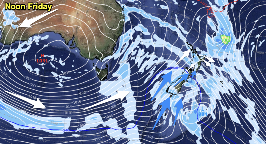
Sunday sees high pressure over the Tasman Sea and a lighter SW flow over the North Island while winds start to turn westerly in the lower half of the South Island as the day goes on.
Showers are most likely around Fiordland and Westland. Some may be near East Cape/Gisborne/Mahia Peninsula area but the wind flow looks like it should keep them out to sea.
Upper North Island:
Lighter S to SW winds. A few clouds around the Tasman Sea may spread inland otherwise fairly sunny.
Highs: 13 to 17
Lower North Island:
Mainly light winds from the westerly quarter generally. A mix of sun and cloud.
Highs: 14 to 16 (just 9 around Mt Ruapehu).
Upper South Island:
Mostly Sunny, especially inland and to the east and north. Cloudy areas in the west and can’t rule out a drizzle patch or light shower, otherwise dry. Light winds from the westerly quarter developing.
Highs: 12 to 16
Lower South Island:
Westerly quarter winds with rain in Fiordland and clouds spilling over eastwards. Sunniest weather in the east and further north into Canterbury. Dry for most.
Highs: Around 13
– WeatherWatch.co.nz


Add new comment