Upper North Island
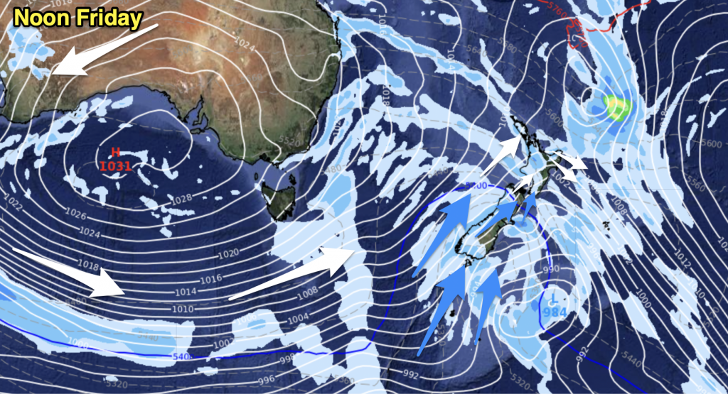
Mostly cloudy, the odd drizzle patch possible Auckland southwards then from between mid afternoon and early evening expect a period of rain which may be briefly heavy about the Waikato then clearing away. Northwesterlies becoming brisk about the western coastline in the afternoon then changing southwest later on.
Lower North Island
The west sees patchy showers or drizzle, turning to rain around midday then clearing during the afternoon as northwesterly winds change southwest. There may be a few clear spells late in the day. Thick high cloud for the east coast, a few spots of rain at times from afternoon then clearing in the evening, winds breezy from the northwest. Some rain about Wellington clears around midday then a few sunny spells possible from afternoon, winds strong to gale from the northwest.
Upper South Island
Cloudy for the West Coast with areas of rain or showers, early heavy rain clears Buller. Early spots of rain clear about Nelson and Marlborough then becoming mostly sunny, winds gusty from the west or northwest. Mostly sunny for Canterbury, winds gusty from the northwest however especially afternoon.
Lower South Island
A few showers move into Southland during the morning then Otago in the afternoon as northwest winds change strong west to southwest. Some sun before the change moves through. Gales develop about coastal Southland and possibly the Catlins.
WeatherWatch.co.nz


Add new comment