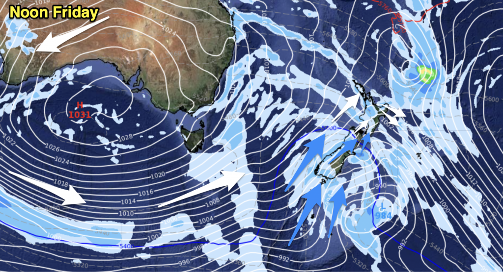
High pressure stretches over the South Island on Saturday while a southeasterly airflow lies over the North Island bringing mainly settled conditions.
Northland, Auckland, Waikato & Bay Of Plenty
Mostly sunny with southeasterly winds, some cloud may brush Great Barrier Island, Coromandel and northeastern parts of Northland with the chance of a light shower or two especially from afternoon otherwise mainly dry. High cloud starts to thicken later in the evening moving in from the north.
Highs: 23-24
Western North Island (including Central North Island)
Mostly sunny with southeasterly winds, some cloud possible about the Manawatu and Kapiti at times spreading over from the east.
Highs: 19-23
Eastern North Island
Mostly cloudy with a few showers, especially morning then dry spells becoming more frequent. Some sun may briefly break through at times. Southerly breezes.
Highs: 18-20
Wellington
A few morning showers clear then expect sunny spells, south to southeasterly winds ease during the day.
High: 17
Marlborough & Nelson
Any early cloud clears then sunny with easterly winds easing later in the day. Afternoon northerlies for Nelson.
Highs: 18-20
Canterbury
Any early cloud breaks to mostly sunny weather, east to northeasterly winds.
Highs: 17-18
West Coast
Sunny with light winds tending onshore in the afternoon (sea breeze).
Highs: 19-23
Southland & Otago
Mostly sunny with light winds tending south to southwest in the afternoon.
Highs: 16-21
By Weather Analyst Aaron Wilkinson – WeatherWatch.co.nz


Add new comment