
Snow showers peppered parts of the eastern South Island to sea level overnight, but as forecast it wasn’t exactly a lot for the most coastal areas, but further inland we’ve had many reports of heavier snowfalls here and there.
As is the nature of showers, not everyone has had a snow flurry – creating a mix of happy farmers and a disappointed snow bunnies, but also a lot of happy people enjoying playing in the snow without a major snow storm.
This morning the showers and snow showers in Canterbury are easing and sliding northwards.
Meanwhile the North Island has a large area of low pressure which today will drive in heavy rain to some parts of the North Island’s east coast (It’s intense but not overly widespread). Overnight the bulk of this heavy rain has been around Wairoa to north of Napier – covering the Mohaka area and inland into the ranges. This rain is likely to remain set in across this part of Hawkes Bay today, and may move a little. Keep an eye on the rain maps here at WeatherWatch, also the rain warning by MetService and the latest rain radar updates.
At the same time as this rain is falling the polar southerly is continuing to head into the North Island today. Many in the upper North Island have still had milder weather across Friday and even overnight, but today that changes as south to south east winds move in.
If you’re expecting a wet and rough day in the upper North Island that isn’t really the case – the centre of the low isn’t usually too active, and even as the low tracks east and the south to south east wind comes in, this airflow is usually quite dry for the upper North Island (with the eastern coastline from Gisborne to Wairarapa absorbing most of the rain).
Auckland, Waikato and Bay of Plenty will have plenty of long dry spells today, but also a mix of smaller more widespread shorter showers and larger more isolated ones. Skies dry out later today but that’s also when colder winds pick up. Sunday looks windy and cold – but possibly sunny and dry for many northern areas.
Finally tonight will be cold – very cold in the South Island with double digit negatives likely through some inland areas. The North Island will be colder on Monday morning as winds die out more and clouds clear away more.
As of 6:30am it down to -5 in Twizel and plenty of -2s to -4 across Otago and inland Canterbury and a lot of -1 to +2 across many other South Island regions. As winds ease today and snow showers fade away expect much colder weather overnight tonight.
Remember this was never a storm hitting NZ – it’s a blast of Antarctic air and that is bringing some sea level snow, brutal wind chills in the south, polar air eventually affecting the entire country, and today bringing pockets of gales, heavy rain and heavy snow to the North Island – but our mountains and ranges mean many regions will also have plenty of sun and dry weather.
Enjoy the cold if you can – and for farmers with newborn stock, we wish you all the best as you’re probably most impacted by this nationwide polar blast this weekend.
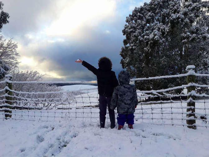
Image / “Snowing in oamaru for a while now [Friday], settled about 6inches 1km inland from Pukeuri overnight and still coming down”, sent in to WeatherWatch by Jessican Jones.
– WeatherWatch.co.nz
Comments
Latest Video

Sunday Newsfeed: Low pressure areas increase offshore near northern NZ in days ahead
A light easterly kicks in to the north of the North Island on Sunday as high pressure moves south east…
Related Articles
Sunday Newsfeed: Low pressure areas increase offshore near northern NZ in days ahead
A light easterly kicks in to the north of the North Island on Sunday as high pressure moves south east…

VIDEO: 7 Day NZ RainWatch: Who gets rain, who misses out
A cold front will bring winter-like weather into the lower South Island on Saturday but won’t make to the top…

VIDEO: Wintry weather in the south, showers continue in the north
Saturday will feel like winter in the lower South Island but northerners will be under high pressure and lighter winds….


Add new comment
Zelda Wynn on 5/08/2016 9:52pm
I feel for the Farmers as they cope with the freeze. Hopefully they have enough winter feed on standby!
Reply
Andrew on 5/08/2016 9:19pm
I’m glad you mentioned that it’s not a storm creating this cold weather but rather a corridor of cold air. Media all over are calling it a storm (maybe around Hawkes Bay they’ll soon be right). We don’t often get such slow moving and long lived cold spells across the whole country.
Reply