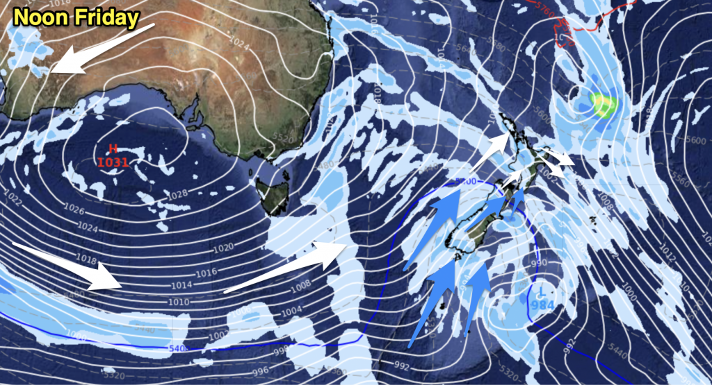
A ridge of high pressure hangs over New Zealand today extending out from a large anticyclone in the Pacific Ocean. High surface moisture and converging winds lead to unstable conditions for the North Island this afternoon.
There may be an isolated heavy fall or downpour about the upper North Island this morning then easing, this afternoon showers flare up again especially about inland areas. Some could be heavy with thunderstorms then easing this evening.
A few showers about the Manawatu northwards this morning for the lower North Island then this afternoon showers becoming heavy with a risk of thunderstorms before easing this evening. Showers this afternoon are mainly about inland areas.
The upper South Island is mainly dry, there may be a few isolated showers late afternoon / evening about Marlborough. For the lower South Island conditions are mainly dry, just some drizzle about Fiordland.

Image – Tuesday 23rd January 2018 4pm MSLP / Rain map – weathermap.co.nz
WeatherWatch.co.nz


Add new comment