
> From the WeatherWatch archives
A subtropical northerly airflow continues to flow onto New Zealand today, moving around a large high centred far to the east of the country in the Pacific Ocean.
For the upper North Island expect random areas of showers, areas of dry also. There may be some rain at times for Northland. Overnight or more towards dawn on Tuesday heavy downpours with possible thunderstorms move in from the west, this area of rain could be torrential in areas.
The lower North Island sees the risk of a shower this morning, mainly in the west. This afternoon there is a higher risk of showers especially for inland areas and about the ranges of Wairarapa and Hawkes Bay, some of these showers could become heavy with a risk of thunder then easing later this evening.
For the upper South Island conditions are mainly dry, a shower or two may hang about Tasman at times during the day. Later this afternoon / evening showers develop about Mid and South Canterbury (especially inland about the foothills at first), some of these showers could become heavy with thunderstorms then clearing later this evening or overnight.
Rain for South Westland this morning, easing to showers this afternoon then clearing this evening. For Southland and Otago expect the odd shower for most, especially this afternoon for inland eastern Otago where some showers may become heavy then easing and clearing this evening.

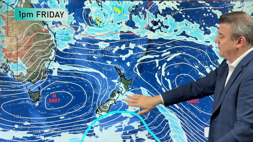
Image – Monday 22nd January 2018 4pm MSLP / Rain map – weathermap.co.nz
WeatherWatch.co.nz
Comments
Before you add a new comment, take note this story was published on 21 Jan 2018.
Latest Video
Feb’s last week: High pressure, cold fronts and a tropical low
The weather this week smacks of late February with some settled, warm, dry days in the mix – along with…
Related Articles
Feb’s last week: High pressure, cold fronts and a tropical low
The weather this week smacks of late February with some settled, warm, dry days in the mix – along with…
Cold fronts and high pressure – a fairly standard late February forecast
High pressure is increasing around New Zealand this weekend and next week – but it won’t always be centred over…
7 Day Weather: A few weak cold fronts, but a lot more high pressure
We’re not done with summer – if it does feel a little Autumnal at times now. We have a few…


Add new comment