
> From the WeatherWatch archives
There are two types of Antarctic blasts – the ones that hit in the middle of winter and can linger days and the others that hit in spring – and while possibly more damaging to the economy in spring, snow events then also tend to move through faster thanks to the windier conditions.
With this winter turning into ‘sprinter’ (winter + windy spring) the weather around New Zealand is more spring-like with the strong westerlies.
We’ve been talking about a polar change arriving at the start of August – and while that is still forecast let us just say it’s not your typical Mid-Winter Polar Snap – with the event lasting less than 48 hours and sub-tropical northerlies returning immediately afterwards.
Basically on Monday air from very close to the polar ice shelf will spread north over New Zealand – but the very north of the country may still see an airflow from Australia – quite a difference and much milder! This means the polar snap may not impact all of New Zealand – or if it does, it may be very brief for some regions.
Also, there isn’t a huge amount of moisture coming in – plenty of dry spells – and with the winds perhaps a little more South West it could mean places like Canterbury remain mostly dry.
Snow to sea level is unlikely at this stage, perhaps just a few degrees too mild.
We’ll certainly keep you posted as we get closer to Monday with updates this weekend.
– WeatherWatch.co.nz

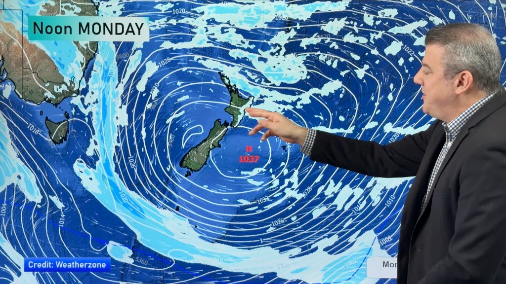
You’ll notice on Monday the cold blue line heads north – it’s cold around this blue line and to the east of it (covers the South Island and 70% of the North Island towards the end of the day). The orange line is air from Australia, so milder.

The blue polar line covers the whole country – but most of the moisture is clearing out to the east as high pressure moves in from the west. In other words – frosty at night but the worst is easing across Tuesday.

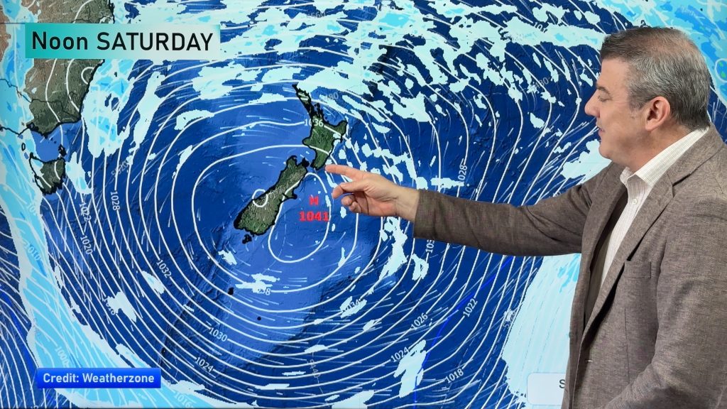
What polar snap? High pressure returns to New Zealand. With light winds there may be some fairly brutal frosts around overnight Tuesday and into Wednesday morning. But look out into the Tasman Sea and you’ll notice the orange line indicating warm sub-tropical air coming back already.
By Wednesday we’ll have polar air blowing to our east and sub-tropical air blowing to our west – and New Zealand is smack bang in the middle – that doesn’t happen every day!
– WeatherWatch.co.nz
Comments
Before you add a new comment, take note this story was published on 28 Jul 2016.
Latest Video
NZ 8 day outlook as high pressure moves through
High pressure will cross the South Island this weekend bringing light winds, cold nights, frosts and fog, while the North…
Related Articles
NZ 8 day outlook as high pressure moves through
High pressure will cross the South Island this weekend bringing light winds, cold nights, frosts and fog, while the North…
Eastern cloud/showers for the NI, high pressure expands elsewhere
A colder south to south-east flow will keep clouds and showers moving into some eastern parts of the North Island…
High pressure growing slowly, eastern showers for NI
A colder airflow is spreading across all of NZ now and will continue on as high pressure slowly moves towards…


Add new comment