> From the WeatherWatch archives
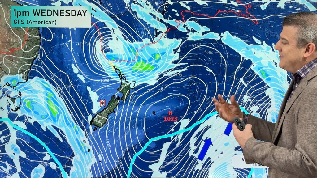
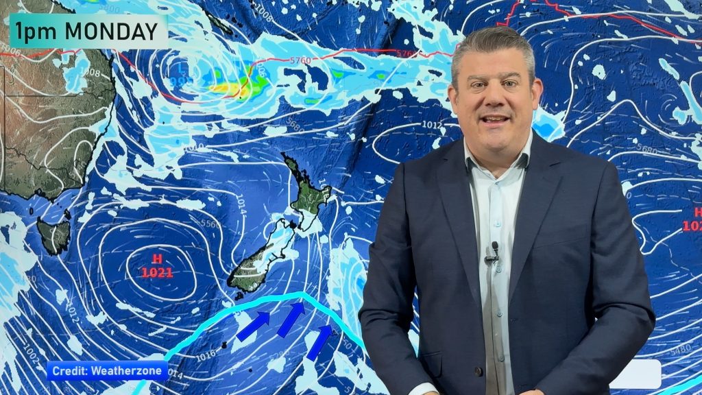
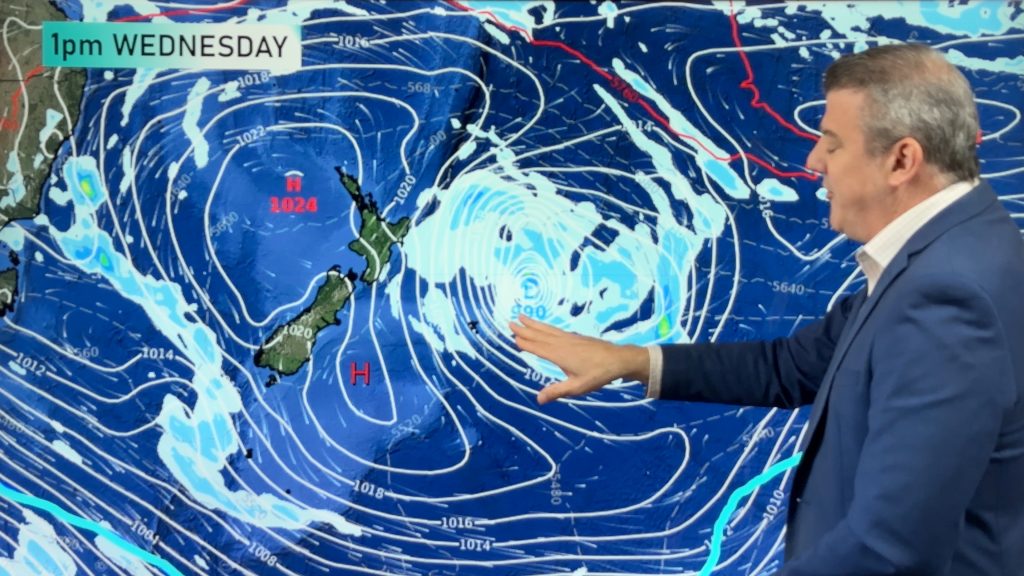
WeatherWatch.co.nz continues to forecast an incoming low this weekend for northern New Zealand – but the news looks more positive for flooded Northland properties.
While the low is tapping into sub-tropical air like last weekend’s low did, this time around there isn’t a large blocking high to the east which will slow the rain down and significantly increase the chances of flooding.
Head weather analyst Philip Duncan says it’s still one to watch closely but at this stage latest data and confidence by forecasters suggests it may be fairly fast moving. “Showers will turn to rain later on Saturday, but it looks mostly north of Whangarei and the Bay of Islands”.
Mr Duncan says it may only be a few hours of rain at the most and should be well under rainfall warning criteria. “We’d be concerned with any dramatic torrential downpours or hours of moderate rainfall – at the moment neither of those are looking too likely”.
Government forecaster Metservice agrees, with just a low risk of heavy rain for upper Northland and the Far North on Saturday in their severe weather outlook.
WeatherWatch.co.nz will update again on Friday and Saturday – and check out our latest rain maps for full details where you live.
Comments
Before you add a new comment, take note this story was published on 16 Jul 2014.


Add new comment