> From the WeatherWatch archives
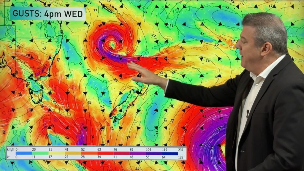
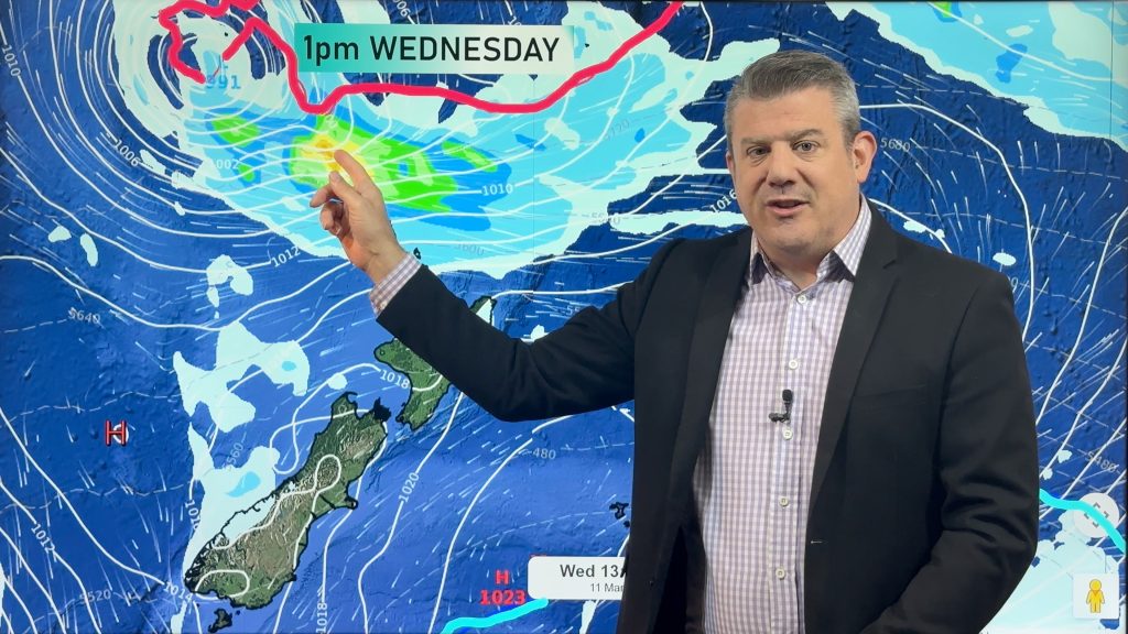
Back in early spring WeatherWatch.co.nz told farmers and growers on CountryTV that the summer weather pattern may once again bring drought-like conditions to some parts of New Zealand at the end of this summer.
The forecast was made based on a weather pattern that has remained around New Zealand for a number of years now, bringing generally mild weather and an active Southern Ocean. This pattern has often seen highs west of us and deep lows in the Southern Ocean south or south east of NZ.
It was this set up that brought snow to Auckland a couple of years ago in winter, along with the droughts last year. Big highs stretching around eastern Australia can have a big reach in winter, scooping up cold air from Antarctica and depositing it over New Zealand. In Summer, these similar placed highs can stretch across the Tasman and over northern New Zealand – often keeping big rain events away from the upper North Island and fueling westerlies to southerlies for the rest of the nation (this summer for example).
So our feeling back in spring last year was that this pattern – which the scientists predicted wouldn’t fade this summer – would mean northern areas of the country could again face very dry weather. This pattern started to develop in spring but some rain did move in later in 2013 which helped.
The rain this summer has been too much for some in New Zealand, but sparse for others, especially in the north. Rain has been hit and miss wiithin regions let alone across the country.
A solid northern rain event is needed this month to help keep our economy humming.
Northland, Auckland and Waikato can all do with rain, so too can Canterbury and parts of other regions across the country.
Farmers are increasingly asking us about when the next rain event will be – there are a few partially wet days in the next couple of weeks but overall the dry we have now for some may soon become a big dry for many in the north. Hopefully the tropics will send a low down before March (or in early March) – we’ll be monitoring the potential long range rain makers and as soon as we see one with any confidence we’ll let you know.
– Image / File, APN
– By Philip Duncan, head weather analyst.
*CountryTV – Channel 81 on Sky – has a 15 minute 10 day forecast every week night hosted by Philip Duncan.
Comments
Before you add a new comment, take note this story was published on 10 Feb 2014.


Add new comment