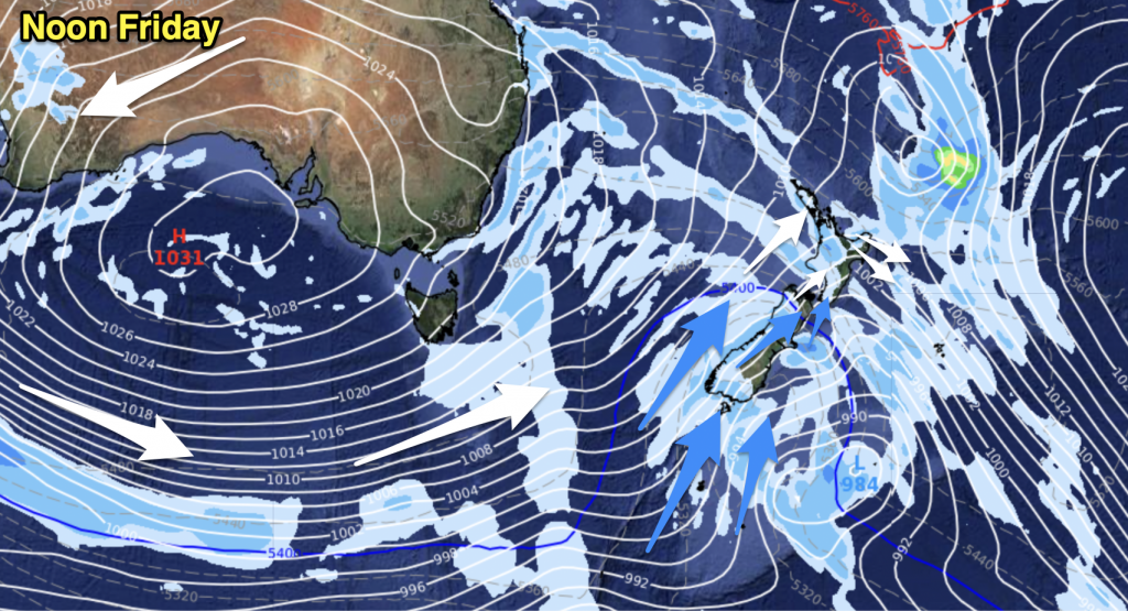
On Monday we have a ridge of high pressure covering most of New Zealand, an easterly airflow moving around this ridge pushes over the North Island during the day while a northerly airflow lies over the South Island. And finally a front affects the lower South Island.
Expect a few showers for Northland (especially in the east), Great Barrier Island, Coromandel and East Cape during Monday in a breezy easterly airflow. Most other regions for the upper North Island can expect a mix of sun and cloud with temperatures in the low to mid twenties.
Mostly sunny conditions for Taranaki through to Wellington in the west. Gisborne sees the odd drizzle patch for most of the day, Hawkes Bay has morning drizzle then some sun breaks through. The Wairarapa has mostly sunny weather all day long.
As we move onto the South Island expect northerly winds for most, perhaps tending a little more northeast at times along eastern coastal fringes. Winds for inland areas getting a bit gusty at times especially for the lower South Island. Cloudy for the West Coast with rain south of Greymouth, there may even be a few heavy falls. Southland and Otago see plenty of high cloud, a spot or two of rain possible at times from afternoon. Canterbury through to Nelson is mainly sunny with some high cloud, temperatures in the east in the low to mid twenties.

Image – Monday 19th March 2018 1:00pm MSLP / Rain map – weathermap.co.nz
By Weather Analyst Aaron Wilkinson – WeatherWatch.co.nz


Add new comment