Monday’s national forecast – High pressure expanding, heat rising (+7 Maps)
13/12/2020 3:00pm

High pressure is moving in from the Tasman Sea and will dominate New Zealand for most of this week.
The anticyclone will bring hot weather to the South Island with temperatures jumping today (and going even higher on Tuesday).
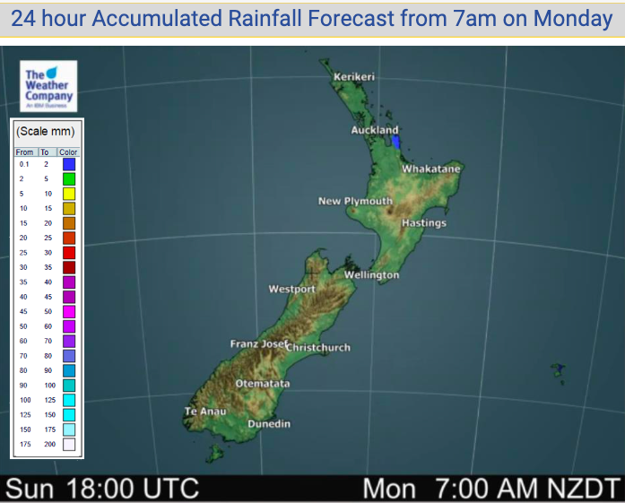
New Zealand looks entirely dry today – or perhaps one isolated light shower remaining in the fading southerly quarter flow.
To see how high temperatures will be getting in your part of NZ today, see the HOURLY details in your hyper-local WeatherWatch.co.nz forecast.


Comments
Latest Video

VIDEO: 7 Day NZ RainWatch: Who gets rain, who misses out
A cold front will bring winter-like weather into the lower South Island on Saturday but won’t make to the top…
Related Articles
VIDEO: 7 Day NZ RainWatch: Who gets rain, who misses out
A cold front will bring winter-like weather into the lower South Island on Saturday but won’t make to the top…

MetService Auckland rain radar offline – helicopter called in
Aucklanders may have noticed the rain radar isn’t working this week. MetService has provided us with an update ahead of…

Weekend Newsfeed: Winter weather in the south, high pressure in the north
A cold change is about to reach the lower half of the South Island bringing snow to the hills and…


Add new comment