
> From the WeatherWatch archives
Strong south to southwesterly winds gradually ease over the country today as an anticyclone pushes in from the Tasman Sea. There are still a few showers to clear out of the way today however they are likely to hang round for much of the day about Wellington and the east coast of the North Island.
Northland
Showers at times clear by evening, gusty cold southerlies ease later in the day. A few sunny spells sneak through at times.
Highs: 10-11
Auckland & Waikato
Sunny spells and some cloud for Auckland with gusty southerlies, easing in the evening. There could be a brief shower at times with a chance of hail even this morning. For the Waikato expect mostly sunny weather with cold southerly winds.
Highs: 9-10
Bay Of Plenty
Any early showers clear then becoming mostly sunny, gusty southwest winds ease in the evening.
Highs: 11-12
Central North Island
North of Lake Taupo expect mostly sunny weather with south to southwest breezes. South of there expect cloudy periods and the odd shower at times, a few snow flurries to 300m lifting to 500m at night.
Highs: 3-7
Eastern North Island
The odd shower with strong cold southwesterlies, gale force at times about Gisborne then easing in the evening. Some small hail at times. Snow flurries to 300m lift to 400m at night for Wairarapa and Hawkes Bay, snow flurries not getting below 400m in the ranges behind Gisborne.
Highs: 8-9
Western North Island
Showers at times, a few may be heavy this morning with small hail then easing into the afternoon. Snow flurries to 300m lift to 500m at night. Strong south to southeasterly winds.
Highs: 8-9
Wellington
Showers, some small hail and snow flurries to 300m in the morning then lifting to 500m at night. Showers may ease off during the afternoon becoming few and far between. Gale southerlies ease during the day.
Highs: 8-9
Nelson
Sunny with some cloud, southerly breezes ease in the evening.
Highs: 10-11
Marlborough
Sunny and cloudy spells with breezy southerlies easing later in the evening. The odd shower possible near the coast then clearing by evening.
Highs: 9-10
Canterbury
Showers and snow flurries to 500m ease during the day clearing in the evening, the odd sunny spell may push through at times from afternoon. Winds die out at night.
Highs: 8-9
West Coast
Sunny with southerly breezes, easing in the evening.
Highs: 12-13
Coastal Otago
Showers and snow flurries to 500m clear around midday, a few sunny spells develop into the afternoon. Cold southwesterlies ease in the evening.
High: 9
Central Otago
The odd early shower and snow flurry to 500m then clearing, a few sunny spells make their way through during the day. Southwesterlies die out in the evening.
High: 7
Southland
The odd shower and snow flurry to 500m clearing around midday then expect cloudy and sunny spells with westerly breezes.
Highs: 9-10
WeatherWatch.co.nz
Comments
Before you add a new comment, take note this story was published on 14 Jul 2013.
Latest Video
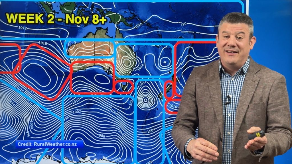
ClimateWatch: NOVEMBER’s outlook as high pressure lifts in NZ, low pressure grows in Oz.
In our monthly “ClimateWatch” forecast the first week of November in NZ looks settled and mostly dry, while Australia and…
Related Articles
ClimateWatch: NOVEMBER’s outlook as high pressure lifts in NZ, low pressure grows in Oz.
In our monthly “ClimateWatch” forecast the first week of November in NZ looks settled and mostly dry, while Australia and…
VIDEO: NZ 7 Day outlook as high pressure finally returns to the country
The 7 day rainfall map looks nothing like anything we’ve had in the past few months as high pressure finally…
VIDEO: Wind, frosts, then dry & calm for many
High pressure is coming in for November’s first week, finally bringing a break in the gales and heavy rain for…


Add new comment
Guest on 14/07/2013 10:43pm
Just wondering at this stage what the weather may be doing the week starting 22 July in the South Island
Reply
WW Forecast Team on 14/07/2013 11:40pm
Hi there – you’re best to use our interactive maps at the top of the page, as they go out 14 days and paint a clear picture as to what is happening. It’s looking unsettled again – windy and dry in the east, very wet in the west. Big low crossing the South Island early next week. May not be stormy but unsettled.
Cheers
Phil
Reply