> From the WeatherWatch archives
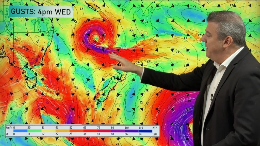
A frontal zone lies across Southland today with a large depression and associated front move towards the North Island. In between there is a weak ridge. Expect rain for southwestern parts of the South Island, rain for the upper half of the North Island also spreading further south overnight.
Northland, Auckland, Waikato, CNI & BOP
Cloudy with northeasterly breezes, the odd patchy area of rain from this morning becomes more persistent about Northland around midday, in Auckland late afternoon and further south towards evening. Northeasterlies becoming gusty in the evening.
Highs: 20-22
Eastern North Island
Thick high cloud with northeasterly breezes. Patchy rain develops overnight.
Highs: 21-22
Western North Island
Cloudy with light winds tending northeast, rain moves in overnight.
High: 20
Marlborough, Nelson & Wellington
Mostly cloudy with northerlies a little breezy at first about the capital, rain moves into northwest Nelson overnight.
Highs: 18-21
Canterbury
Plenty of high cloud with light northeasterlies near the coast, winds tend northwest inland.
High: 22
West Coast
Cloudy with northeasterly breezes, rain about Fiordland and South Westland eases to showers in the afternoon.
High: 19
Southland & Otago
Some rain today right on the Southland coastline and for some inland western parts of Central Otago for a time. Dry elsewhere with some high cloud, afternoon sun especially about eastern Otago. Light winds.
Highs: 16-20
WeatherWatch.co.nz
Comments
Before you add a new comment, take note this story was published on 14 Apr 2013.


Add new comment