
> From the WeatherWatch archives
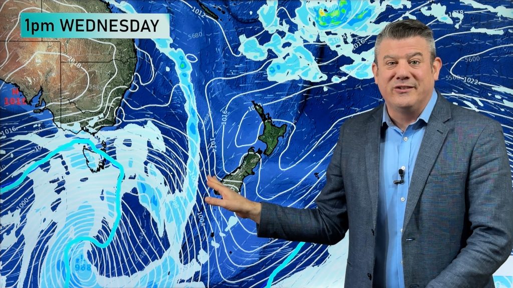
Today we have a front moving off the upper South Island this morning then over the North Island during the afternoon and evening, winds ahead and with the front are from the NNW and then changing WSW behind the front.
For the North Island we have a cloudy day, patchy rain in most western regions becoming heavy in the afternoon with thunderstorms for some especially about the Waikato. Heavy rain and any thunderstorms easing later in the evening. Wellington sees strong to gale NNW during today with cloudy skies, spells of rain at times clearing by evening. Along the east coast (Gisborne southwards) we see thick high cloud with gusty NW winds, a few spells of rain at times spreading from the west afternoon on wards then clearing later in the evening.
Heavy rain on the West Coast of the South Island and perhaps about Nelson (more so in the west) with thunderstorms eases this morning to showers as west to southwest winds develop, a few showers or morning spells of rain about Canterbury and Marlborough clearing then sunny areas develop with winds tending southwest for a time. Winds about Marlborough will stay NW all day along. In the morning and early afternoon NW winds about North Canterbury through to Marlborough will be quite strong with gusts to gale possible especially inland then easing. As mentioned above winds tend southwest in Canterbury but mainly up to about Banks Peninsula then dying away in the afternoon.
Showers for Southland for much of the day, winds brisk to strong from the west. Otago sees morning showers clear then some sun develops, further showers move in again in the evening, winds brisk from the WSW during the day.
WeatherWatch.co.nz
Comments
Before you add a new comment, take note this story was published on 7 Jan 2016.
Latest Video
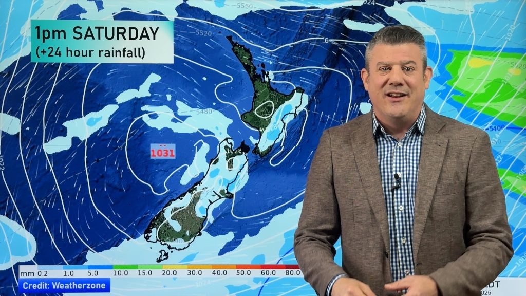
VIDEO: High pressure in charge, who gets the showers & wind between now & Sunday
High pressure is controlling NZ’s weather this week and coming weekend, but there are still some windy and wet areas…
Related Articles
VIDEO: High pressure in charge, who gets the showers & wind between now & Sunday
High pressure is controlling NZ’s weather this week and coming weekend, but there are still some windy and wet areas…
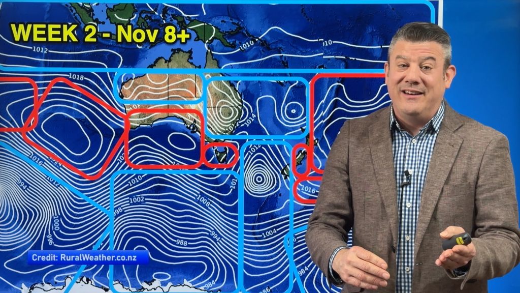
ClimateWatch: NOVEMBER’s outlook as high pressure lifts in NZ, low pressure grows in Oz.
In our monthly “ClimateWatch” forecast the first week of November in NZ looks settled and mostly dry, while Australia and…
VIDEO: NZ 7 Day outlook as high pressure finally returns to the country
The 7 day rainfall map looks nothing like anything we’ve had in the past few months as high pressure finally…


Add new comment