> From the WeatherWatch archives
Northland, Auckland, Waikato & Bay Of Plenty
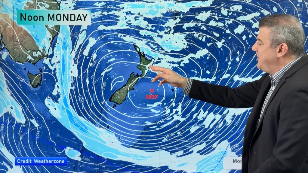
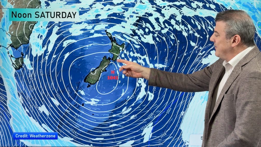
Showers some of which may be heavy at times with breezy northwesterly winds, strong about the coast. Some sun may break through at times in the afternoon. Overnight or more towards dawn on Saturday very strong northwesterlies move in bringing a period gales and showers, some may be heavy with thunderstorms.
Highs: 14-16
Western North Island (including Central North Island)
Morning rain eases to the odd shower, gusty northwesterly winds, strongest about coastal areas.
Highs: 10-14
Eastern North Island
Sunny areas and some high cloud after a few morning spots of rain clear away, gusty northwesterly winds
Highs: 16-17
Wellington
Occasional showers with strong to gale northwesterly winds.
High: 13
Marlborough & Nelson
Areas of rain, some sun may break through from afternoon. Rain a little more scattered about eastern Marlborough with a higher chance of sun afternoon onwards. Gusty north to northwesterly winds.
Highs: 13-14
Canterbury
Rain south of Banks Peninsula with heavy falls especially the further south one goes, areas of flooding and potential for slips about South Canterbury. Winds gusty from the south or southwest. Showers further north of Banks Peninsula, perhaps some dry areas at times with lighter more variable winds.
Highs: 8-11
West Coast
Rain for North Westland, easing overnight with northwesterly winds. South Westland sees drier conditions although the odd spit now and then spreading from the east with mainly cloudy skies, winds strong and gusty from the south.
Highs: 11-13
Southland & Otago
Showers or drizzle turns to rain by midday about with heavy falls, especially about eastern Otago where flooding and slips may occur. Strengthening south to southeasterly winds, rising to gale about the coast.
Highs: 7-10
By Weather Analyst Aaron Wilkinson – WeatherWatch.co.nz
Comments
Before you add a new comment, take note this story was published on 20 Jul 2017.


Add new comment
Maria on 20/07/2017 9:49pm
Hi Phil. I live in Christchurch. 2 days ago a Metservice spokesperson said we would (not could or maybe) cop over 100mm of rain, then they said at least 50, yesterday their latest told us 35mm. This morning I have never seen such an array of depressing, awful threats that suggest this monster is out to get Canterbury and Otago. Niwa is in on it as well, stating a new low has formed off Kaikoura which will bring “terrific” rain. Met says great swathes of rain are everywhere around us and over us, that it’s all going to stall over Cant. and Otago. Now none of them say how much for Christchurch only just 100-150 for Canty with the worst inland. As I write it is 9.30am and hardly raining with a moderate to light southerly. Rain was heavier earlier but nothing unusual. Yet the Press site screamed deluge, wild, blustery, supposedly having hit us. With the centre over the top of the SI why so benign here. Well, we have no choice but to wait and see if the apocalyptic rains envelop us sometime later. Not wanting to tempt fate, of course. Everyone seems to be having a field day with this one. I realise such a monster would be very difficult to predict. I counted 12 fronts attached to it on a map earlier today. It is indeed great to have a forecaster like Phil Duncan who doesn’t constantly sensationalise and go over the top, yet turns out to be more accurate on average. Thank you for the service you provide.
Reply