Colder nights coming along with a big, beautiful, high (+4 Maps)
29/04/2018 10:48pm

A complex system which consists of several fronts lies over the North Island and brings showers to both islands.
The peak of rain and strong winds has now passed but some patchy rain does remain today with winds generally fading for many.
Weather will improve countrywide from Tuesday as this weak low near Northland and Auckland gradually moves away eastwards
A period of showery rain is likely in the eastern part of the South Island on Tuesday evening due to
unstable air by an upper level cold air intrusion.
On Tuesday night minimum temperatures in the South Island will be significantly low. Then on Wednesday night low
temperatures spread over the North Island as high pressure rolls in locking in the cooler air.
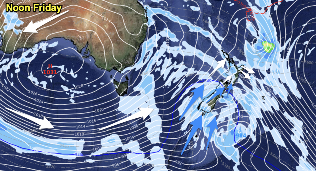
A very large high will bring settled, dry and quite sunny weather to the country by mid to late week and will linger until the weekend.


– WeatherWatch.co.nz (Proudly an official IBM business partner)


Add new comment