Australia has a high as big as the country & it may bring a cold blast to New Zealand (+3 Maps)
17/05/2018 11:30pm

Australians are under a big high. The anticyclone, which has central air pressure puffed up to 1034hPa, boldly covers much of the nation and the centre will remain parked over the Great Australian Bight for the weekend and across next week.
This placement encourages mostly sunny weather across a large portion of Australia for many days to come.
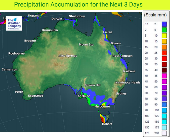
The only exception is Tasmania which, like New Zealand, is caught up in a windy and unsettled Autumn pattern right now. There may also be a little rain or shower activity in coastal parts of northern Queensland and western parts of Victoria but totals will not be much.
Due to the placement of the high it means some areas in the north east will be a little cooler than average at times, especially at night with single digit lows even expected in Brisbane but warm or hot weather returns next week.
This high will help encourage more winds over New Zealand and has no signs of calming our weather – in fact modelling today suggests this high from Australia may actually give New Zealand a cold blast one week from now (Next Friday and Saturday) but due to the chaos in the pattern over us it’s too early to lock in yet.
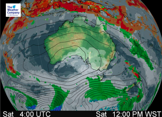
 – Current air pressure map for midnight next Friday (one week from now) shows the Aussie high potentially morphing into a north to south shaped high that encourages wintry southerlies up and over New Zealand. Too early to lock in due to the chaos around New Zealand at the moment but, as we say, it’s “one to watch”.
– WeatherWatch.co.nz – Proud to be an official IBM/TWC business partner.
Comments
Latest Video

VIDEO: NZ: Another Autumn change this week as high pressure remains offshore
A low with sub-tropical connections will flirt with the eastern North Island over the next couple of days but the…
Related Articles

VIDEO: Australia-only 7 Day: Wet easterly vs cold southerly
Wet weather and windy easterlies for eastern Australia along with colder southerlies in the south makes for some changeable weather…

El Niño officially comes to an end, what does neutral mean weather-wise?
El Niño has come to an official end, according to scientists at the Bureau of Meteorology – the climate experts…

VIDEO: NEW: Australia – Your week ahead weatherwise
In this NEW Monday feature, we’re trialling in April a shorter video outlining the Big Picture for Australia. We’ll cover…


Add new comment