
> From the WeatherWatch archives
It was a busy week for Australian meteorologists and SES with a complex low affecting all southern states and the ACT this week, with only the Northern Territory not being directly affected by this system.
Last weekend, a low pressure system popped up in the southern Indian Ocean heading to our continent. This broad low pressure system had a very delineated cold front extending northwards. The cold front battered Perth late on Tuesday with thunderstorms and wind gusts of up to 110 km/h.
On Wednesday the system reached Adelaide where 15,000 homes lost power in high winds. Later on the same day, it brought wind gusts of up to 100 km/h to Melbourne. Finally, over the past two days, the system swept through TAS, NSW and southern QLD. By this time, however, the system had lost its “mojo” and its effects in NSW and southern QLD were not as significant (in terms of winds) as they were earlier on in the week. The Apple Isle however, managed to get gusts of over 117 km/h in Mt. Wellington due to its proximity to the centre of the low pressure.
Generally a cold front, the line with spikestriangles you seen on TV weather maps, is the boundary between cold polar air moving towards the equator and warm tropical air moving polewards. In our hemisphere, southerly winds in the wake of the cold front are responsible for bringing the polar cold airmass to our continent while the northerly winds ahead of the front bring the tropical airmass to the south.
Such a weather pattern is intrinsic to our nation and usually happens several times a month. These cold fronts tend to be embedded in the westerly flow that circumnavigates the planet at about 40 degrees south. However, not all cold fronts and lows are the same and some are stronger than others. This particular one, was the strongest so far this season.
In between cold front, we usually see high pressure systems which are associated with clear skies and sunny conditions. If these linger over the country for long, like the one we just had, then sunny skies allow the continent to warm up more than it usually do. So, when the next cold front moves eastwards across the southern parts of the nation, the northerly winds ahead of the system will bring a warmer than average air mass towards Adelaide, Melbourne and Sydney.
This warm airmass was responsible for nearly melting all the snow across the Australian Alps. The polar airmass, however, behind it has already dumped about 50cm of fresh powder across the resorts since last Friday night as rain turned to snow. At the end of the day, its all about timing!
– Weatherzone
Latest Video
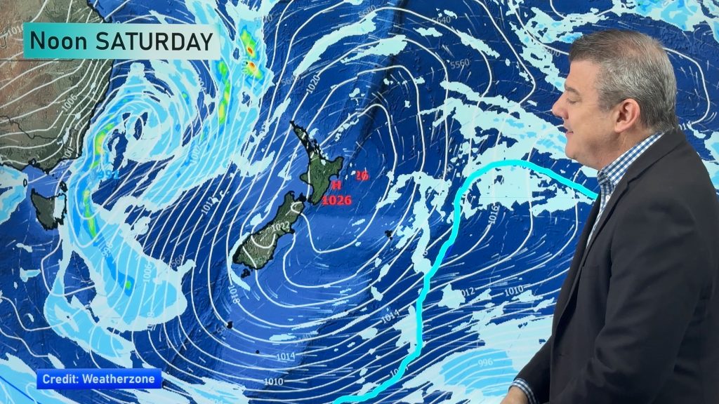
Your NZ forecast through to King’s Birthday Monday
High pressure continues to control NZ’s weather but a change to wet weather and low pressure is expected during the…
Related Articles

ClimateWatch: May outlook & El Niño discussion
Everyone is talking about El Niño so in this month’s update we discuss when it may be forming and what…

Wed April 29 – No video today sorry!
Apologies but due to some tech hassles with our camera (and a fairly quiet weather forecast) we don’t have an…
Unsettled weekend, but not raining for all, as large low forms
Windy westerlies are the main feature of weather for the next day or two, before a low pressure system grows…

