
> From the WeatherWatch archives
The month of August looks likely to be “above average” temperaturewise in New Zealand according to forecasters at WeatherWatch.co.nz.
The weather news authority, which provides monthly forecast reports to Fonterra, says the incoming weather pattern looks similar to July’s outgoing one – warmer and windier.
“We seem to be seeing an early spring pattern, defined by windy westerlies, warmer than average temperatures but still some short wintry bursts” says head weather analyst Philip Duncan.
“Ski fields in both islands should get a little more snow this month despite the warmer forecast, with colder southerlies moving over the South Island and North Island as early as this Sunday and Monday”.
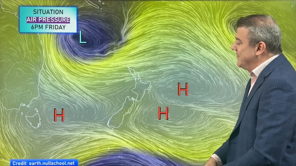
However the long term pattern, which still sees a weekly southerly change through August, sees plenty more westerlies.
“The first half of August sees a lot of windy weather, especially for central, eastern and southern parts of New Zealand” says Mr Duncan. “We have a high in the mix in the second week though, so a few days of calm are also there”.
WeatherWatch.co.nz says while it’s very early days some data suggests another heavy rain event for northern New Zealand around the middle of the month, as an anticyclone potentially blocks a sub-tropical and very wet northerly wind flow.
“It’s too early to lock in, but it’s not too early to keep an eye on it, especially on top of recent flood events in Northland”.
– Image / File, Kerry Payne
– WeatherWatch.co.nz
Latest Video
A few showers, but still a lot of high pressure
Showers continue in parts of NZ going into the weekend and through next week, we track them for you –…
Related Articles
A few showers, but still a lot of high pressure
Showers continue in parts of NZ going into the weekend and through next week, we track them for you –…
High pressure still in charge, but a few changes in the mix
High pressure continues to control much of New Zealand’s weather although there will be some wind and temperature changes in…
Heavy West Coast rain, a few showers elsewhere
High pressure looks to remain mostly in charge of NZ’s weather until the middle of next week when a potential…

