
> From the WeatherWatch archives
The warm weather that has been affecting many regions over the past week is about to come to an end as a shot of cold air from Antarctica moves towards New Zealand… but it’s incredibly short lived.
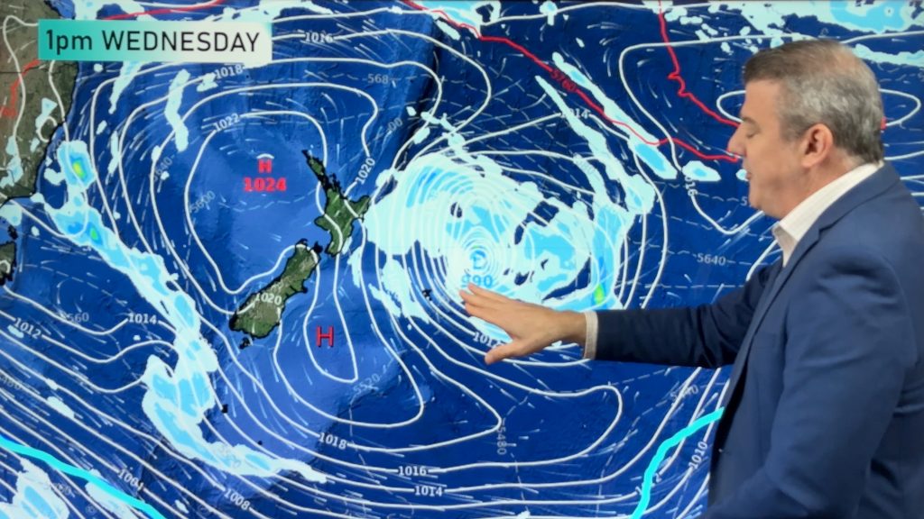
Rather ominous weather maps show a large low hugging the Antarctic ice shelf, and behind it several isobars which show a strong southerly directly off the ice and sending it directly towards southern New Zealand.
Similar outbreaks have brought snow to sea level – so why no focus on that this time? Put short – it’s too fast moving and it’s only brushing us briefly.
The polar air will brush Southland and Otago on Thursday.
It’s a classic case of the further south you go, the colder the air is.
 Parts of Southland and Otago will only reach highs of 7 or 8 on Thursday – but the coldest of the air will last less than 24 hours with warmer conditions returning as soon as Friday.
There’s also a significant lack of moisture – while the air will be cold, there won’t be much rain with it to turn to hail and snow – so a mostly dry forecast is in place.
Polar southerlies will be pushed east so fast it turn them into westerlies by the time it tries to climb over New Zealand – and an incoming high will push the polar air away by Friday allowing temperatures to quickly lift back up again.
The incoming high will also stop the polar air from pushing into the North Island – although temperatures everywhere may drop a couple degrees later this week from a general change in wind direction.
Image / Thursday morning at 6am shows bitterly cold southerlies moving towards southern NZ – map courtest of Weathermap.co.nz
– WeatherWatch.co.nz
Comments
Before you add a new comment, take note this story was published on 24 Jul 2013.
Latest Video
Yes, NZ’s weather is warming back up again
Temperatures lift on Wednesday for many, then further going into Thursday and Friday as subtropical and/or nor’westers return. Cooler southerlies…
Related Articles
Yes, NZ’s weather is warming back up again
Temperatures lift on Wednesday for many, then further going into Thursday and Friday as subtropical and/or nor’westers return. Cooler southerlies…
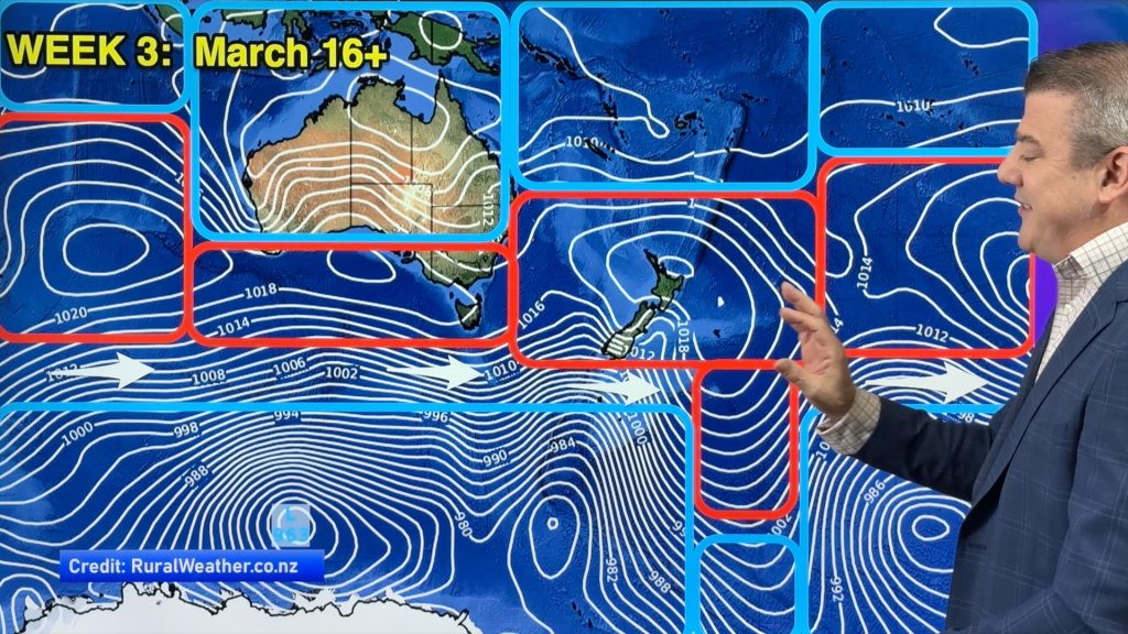
ClimateWatch: MARCH is looking quite orderly to start with
Storms near Antarctica, Autumn’s westerlies building south of Australia & NZ, high pressure again affecting both nations and the tropics…
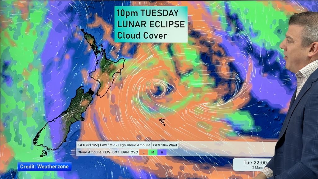
Colder tonight for many, Lunar eclipse Tuesday, high pressure dominates
A lot of low pressure is spinning east of the country while a large high is moving in – this…


Add new comment