
> From the WeatherWatch archives
We’re now approaching peak summer so it’s not surprising we’re now seeing regular daytime highs into the 30s. However with humidity you can add a few degrees to the “feels like” temperature during the day.
This heat plus humidity will continue to create afternoon downpours through the interior of both islands – and isolated thunderstorms too.
Risks continue until Sunday but gradually decrease in intensity over the weekend.
Driest areas will be those closest to the coastlines.
Here are maps for the next couple of days…

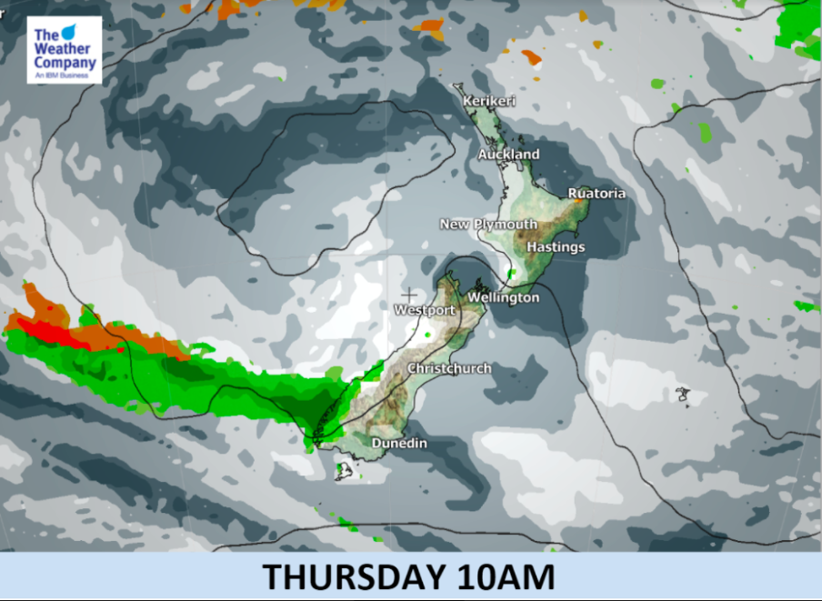


– InfoGraphics by The Weather Company (an IBM Business)
– WeatherWatch.co.nz (an official IBM business partner)
Comments
Before you add a new comment, take note this story was published on 23 Jan 2018.
Latest Video

NZ VIDEO: More lows, but a reduction in severe weather
More low pressure is coming in to New Zealand this week – but rainfall isn’t as dramatic as previous weeks,…
Related Articles
NZ VIDEO: More lows, but a reduction in severe weather
More low pressure is coming in to New Zealand this week – but rainfall isn’t as dramatic as previous weeks,…

NZ VIDEO: Westerlies, lows, showers & large dry areas
Messy westerly driven weather will affect NZ this week, bringing more wet weather to western and northern parts of the…

NZ VIDEO: Westerlies continue
Heavy rain and northerly gales are moving across NZ going into the weekend as a large low from the Tasman…


Add new comment