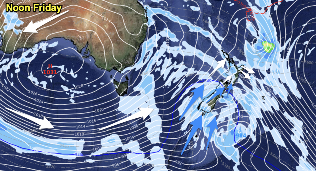
Rain in the morning (possibly heavy) about Northland and Auckland then moving into the Waikato and Bay Of Plenty during the afternoon, easing in the north from afternoon and further south in the evening. There may be some morning fog about the Waikato. Light winds.
Highs: 15-17
Western North Island (including Central North Island)
Sunny areas and increasing high cloud after any morning fog breaks, showers developing from afternoon then some overnight rain. Light winds.
Highs: 14-17
Eastern North Island
Sunny areas and increasing cloud, patchy rain / showers develop in the evening. Light easterlies.
Highs: 15-17
Wellington
Mostly cloudy with Southerlies gradually freshening, overnight drizzle.
High: 14
Marlborough & Nelson
Becoming mostly cloudy in the morning, light winds.
Highs: 13-14
Canterbury
Mostly cloudy, there may be a drizzle patch or two otherwise mainly dry. Light easterlies.
Highs: 10-12
West Coast
Mostly sunny with some high cloud, lower level cloud increases in the evening about Buller. Light winds.
Highs: 14-16
Southland & Otago
Mostly sunny about Southland and Central Otago, some high cloud from afternoon. Coastal Otago sees mostly cloudy skies, some sun may break through at times. Light winds.
Highs: 12-14
By Weather Analyst Aaron Wilkinson – WeatherWatch.co.nz


Add new comment