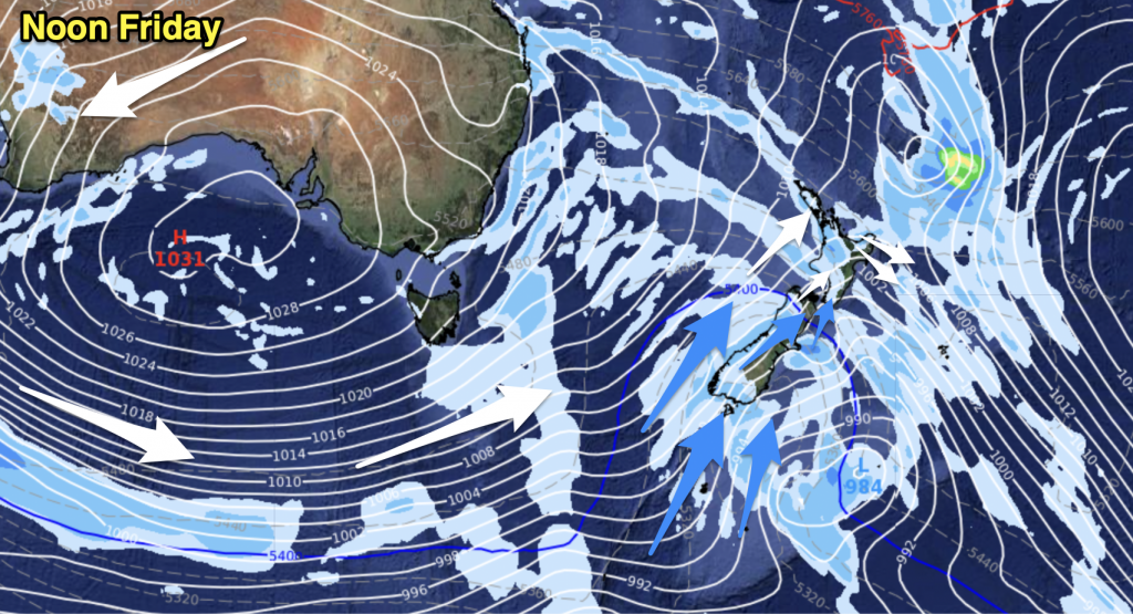
Mostly sunny with light winds, overnight fog patches possible. There is a chance of some cloud streaming into places like the Coromandel, western Bay Of Plenty and Northland bringing the risk of a light shower or two from afternoon.
Highs: 14-16
Western North Island (including Central North Island)
Sunny with light winds, a chance of overnight fog for inland areas.
Highs: 12-14
Eastern North Island
Mainly sunny with light winds tending easterly in the afternoon.
Highs: 13-15
Wellington
Mainly sunny with north to northwesterly winds.
High: 13
Marlborough & Nelson
Sunny with light winds in the morning, afternoon north to northwesterly winds.
Highs: 13-16
Canterbury
Sunny with light northwesterlies inland, light east to northeast winds near the coast.
Highs: 13-15
West Coast
Cloudy areas, perhaps a drizzle patch or two. Areas of sun may break through for some. Light winds.
Highs: 12-13
Southland & Otago
Sunny areas and increasing high cloud, chance spot of rain from evening about Southland otherwise mainly dry. Northwesterly winds inland and about Southland, light northeasterlies about coastal Otago.
Highs: 14-15
By Weather Analyst Aaron Wilkinson – WeatherWatch.co.nz


Add new comment