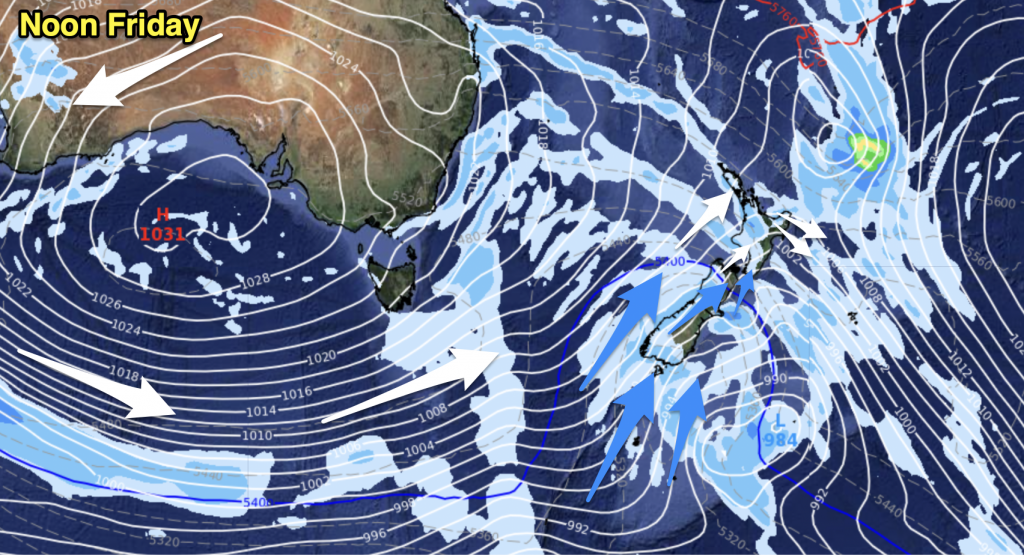
Mostly cloudy with a few showers, especially afternoon onwards although eastern Northland may stay fairly dry. Breezy westerly winds change southwest overnight, winds strong about coastal areas especially overnight.
Highs: 16-18
Western North Island (including Central North Island)
Areas of rain with breezy westerly winds, brisk at times from afternoon (winds strong about Taranaki). Winds change gusty southwest overnight with snow lowering to 600m about the Central Plateau by dawn on Wednesday.
Highs: 11-16
Eastern North Island
Sunny areas and some high cloud, might be a spot of rain in the afternoon. Northwesterly winds pick up after midday, an overnight southwest change (strong about the coast) brings a few showers.
Highs: 17-19
Wellington
Showers, strong northwesterly winds which may gust to gale at times change strong southerly in the evening.
High: 15
Marlborough & Nelson
Sunny areas and some high cloud for Nelson and Marlborough (general areas of cloud more frequent about Nelson), gusty northwesterly winds. A southwest change in the evening brings showers which clear overnight, some snow for a time in the ranges lowering to 600m before clearing away.
Highs: 14-16
Canterbury
Sunny areas and some high cloud, northwesterly winds strengthen about inland areas especially for North Canterbury where winds may gust to gale at times. A gusty late afternoon southwest change brings showers, becoming restricted to coastal areas / Banks Peninsula overnight. Some snow lowers to 500m.
High: 15
West Coast
A few showers, rain moves into Fiordland during the morning bringing heavy falls. Rain with a chance of heavy falls pushes into North Westland during this afternoon then easing back to showers in the evening. Snow may lower to about 500m (400m about Fiordland) before clearing overnight. Breezy westerlies change southwest later in the day.
Highs: 11-12
Southland & Otago
Dry first thing then a gusty cold west to southwest change develops during this morning bringing rain (a chance of thunderstorms and hail also) which eases for a time this afternoon then pushing back in again late afternoon / evening. Snow to 800m drops to 400m by evening, perhaps even 300m at times.
By Weather Analyst Aaron Wilkinson – WeatherWatch.co.nz


Add new comment